


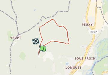


8,2 km | 12,4 km-effort


Tous les sentiers balisés d’Europe GUIDE+


Gratisgps-wandelapplicatie
 SityTrail
IGN / Geografische instituten
SityTrail World
De wereld gaat voor u open
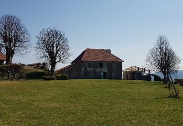
Tocht Te voet van 4,6 km beschikbaar op Grand Est, Vogezen, Saint-Nabord. Deze tocht wordt voorgesteld door SityTrail - itinéraires balisés pédestres.
Trail created by Sentiers Pédestres de Saint-Nabord.

Stappen
Te voet

Te voet
Te voet

Stappen

Lopen
Stappen
Stappen
Stappen