


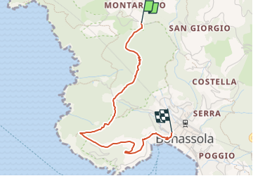

14,1 km | 23 km-effort


Tous les sentiers balisés d’Europe GUIDE+


Gratisgps-wandelapplicatie
 SityTrail
IGN / Geografische instituten
SityTrail World
De wereld gaat voor u open
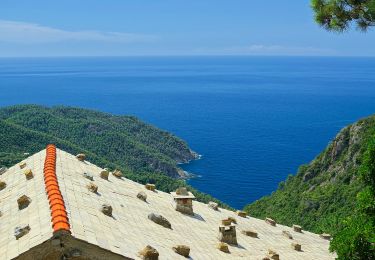
Tocht Te voet van 3 km beschikbaar op Ligurië, La Spezia, Bonassola. Deze tocht wordt voorgesteld door SityTrail - itinéraires balisés pédestres.
relation mantained by AlfredoSP (CAI-SP)
Symbol: some old white red flag
Website: https://www.cailaspezia.it/


Stappen

Te voet
Te voet
Te voet
Te voet

Te voet
Te voet

Te voet
Te voet