


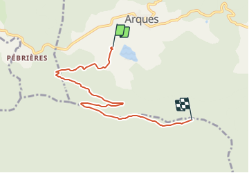

47 km | 60 km-effort

Tous les sentiers balisés d’Europe GUIDE+


Gratisgps-wandelapplicatie
 SityTrail
IGN / Geografische instituten
SityTrail World
De wereld gaat voor u open
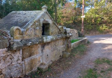
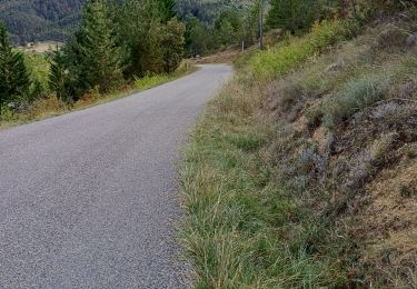
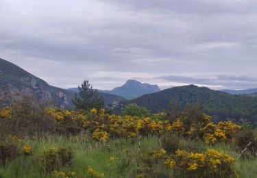
Tocht Te voet van 6,7 km beschikbaar op Occitanië, Aude, Arques. Deze tocht wordt voorgesteld door SityTrail - itinéraires balisés pédestres.
Symbol: trait jaune et rond bleu


Fiets
Stappen
Stappen
Stappen
Stappen
Stappen