


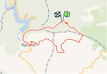

9,9 km | 13,6 km-effort

Tous les sentiers balisés d’Europe GUIDE+


Gratisgps-wandelapplicatie
 SityTrail
IGN / Geografische instituten
SityTrail World
De wereld gaat voor u open
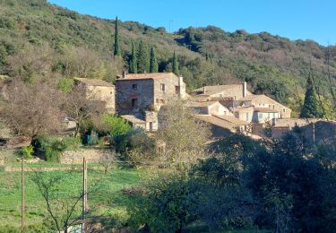
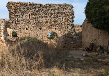
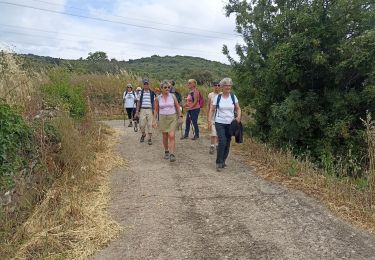
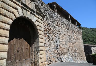
Tocht Te voet van 9,3 km beschikbaar op Occitanië, Hérault, Cabrières. Deze tocht wordt voorgesteld door SityTrail - itinéraires balisés pédestres.
Website: http://crpal.free.fr/vailhan/parcours/patrimoine/sentierdutemple.pdf


Stappen

Mountainbike
Te voet

Stappen
Stappen
Stappen
Stappen
Te voet
Stappen