


14,5 km | 23 km-effort

Tous les sentiers balisés d’Europe GUIDE+


Gratisgps-wandelapplicatie
 SityTrail
IGN / Geografische instituten
SityTrail World
De wereld gaat voor u open
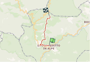
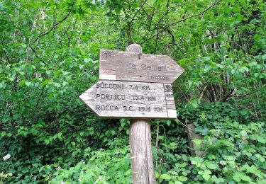
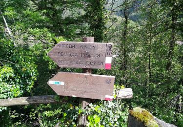
Tocht Te voet van 5,6 km beschikbaar op Emilia-Romagna, Forlì-Cesena, Portico e San Benedetto. Deze tocht wordt voorgesteld door SityTrail - itinéraires balisés pédestres.
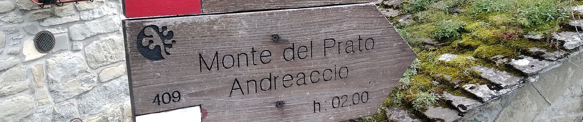
Trail created by CAI Faenza.
Relation maintened by Gabriele Sani (CAI-FA)
Symbol: 415 on white red flag
Website: http://www.caifaenza.it


Te voet

Te voet
Te voet
Te voet

Te voet
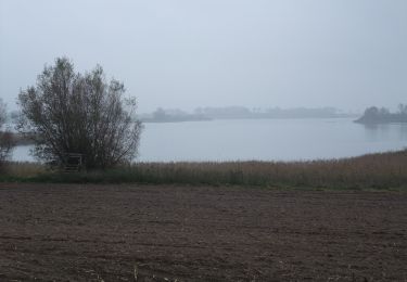
Te voet
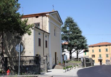
Te voet
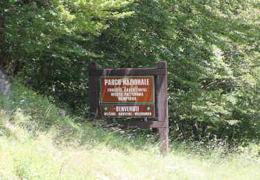
Te voet
Te voet