


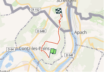

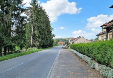
7,3 km | 10,5 km-effort

Tous les sentiers balisés d’Europe GUIDE+


Gratisgps-wandelapplicatie
 SityTrail
IGN / Geografische instituten
SityTrail World
De wereld gaat voor u open
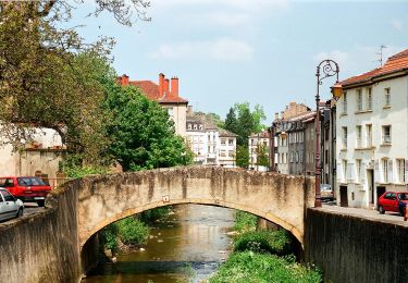
Tocht Te voet van 3,3 km beschikbaar op Grand Est, Moselle, Contz-les-Bains. Deze tocht wordt voorgesteld door SityTrail - itinéraires balisés pédestres.
Symbol: stilisiertes weißes S und H auf lila Grund


Te voet
Te voet
Te voet

Stappen
Te voet
Te voet
Te voet

Te voet
Noords wandelen