


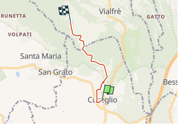

13,7 km | 15,3 km-effort


Tous les sentiers balisés d’Europe GUIDE+


Gratisgps-wandelapplicatie
 SityTrail
IGN / Geografische instituten
SityTrail World
De wereld gaat voor u open
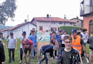
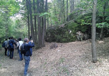
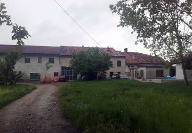
Tocht Te voet van 3,3 km beschikbaar op Piëmont, Turijn, Cuceglio. Deze tocht wordt voorgesteld door SityTrail - itinéraires balisés pédestres.
Trail created by Ecomuseo dell’Anfiteatro Morenico di Ivrea ( AMI ).
Symbol: two white triangles vertically opposed on a red background
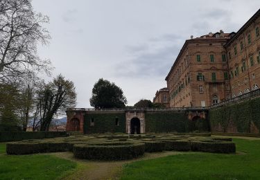
Te voet
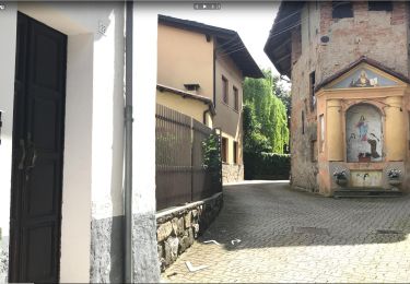
Te voet
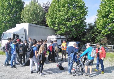
Te voet
Te voet

Te voet
Te voet

Te voet
Te voet

Te voet