
Bagolino (Ponte Destrone) - La Grapa di Vaia
SityTrail - itinéraires balisés pédestres
Tous les sentiers balisés d’Europe GUIDE+

Lengte
9,6 km

Max. hoogte
2119 m

Positief hoogteverschil
8 m

Km-Effort
14,2 km

Min. hoogte
745 m

Negatief hoogteverschil
1374 m
Boucle
Neen
Markering
Datum van aanmaak :
2022-02-15 02:20:24.834
Laatste wijziging :
2022-02-28 22:36:47.065
3h14
Moeilijkheid : Gemakkelijk

Gratisgps-wandelapplicatie
Over ons
Tocht Te voet van 9,6 km beschikbaar op Lombardije, Brescia, Bienno. Deze tocht wordt voorgesteld door SityTrail - itinéraires balisés pédestres.
Beschrijving
Trail created by Club Alpino Italiano.
Symbol: 423 on white red flag
Plaatsbepaling
Land:
Italy
Regio :
Lombardije
Departement/Provincie :
Brescia
Gemeente :
Bienno
Locatie:
Unknown
Vertrek:(Dec)
Vertrek:(UTM)
607681 ; 5080703 (32T) N.
Opmerkingen
Wandeltochten in de omgeving
Cascina Serese - Goletto di Gaver


Te voet
Gemakkelijk
Bagolino,
Lombardije,
Brescia,
Italy

6 km | 13,5 km-effort
3h 4min
Neen
Valle Dorizzo - Passo Croce Domini


Te voet
Gemakkelijk
Breno,
Lombardije,
Brescia,
Italy

5,4 km | 7,8 km-effort
1h 46min
Neen

Ponte Selva - La Plagna


Te voet
Gemakkelijk
Bagolino,
Lombardije,
Brescia,
Italy

6,2 km | 10 km-effort
2h 16min
Neen
Ponte Selva - Monte Dasdana


Te voet
Gemakkelijk
Bagolino,
Lombardije,
Brescia,
Italy

6,1 km | 11,7 km-effort
2h 39min
Neen
Malga Cadino - Lago della Vacca


Te voet
Gemakkelijk
Breno,
Lombardije,
Brescia,
Italy

6 km | 11,9 km-effort
2h 41min
Neen
Bienno (Sesa di Sotto) - Passo Dasdana


Te voet
Gemakkelijk
Collio,
Lombardije,
Brescia,
Italy

4,6 km | 8,9 km-effort
2h 0min
Neen
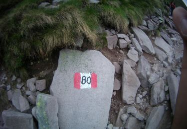
Via del Silter


Te voet
Zeer moeilijk
Bienno,
Lombardije,
Brescia,
Italy

71 km | 121 km-effort
27h 26min
Ja
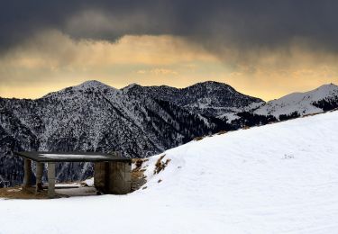
Collio (Tizio) - Monte Colombine


Te voet
Gemakkelijk
Collio,
Lombardije,
Brescia,
Italy

9 km | 13,9 km-effort
3h 9min
Neen



 SityTrail


