


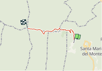

14,9 km | 23 km-effort


Tous les sentiers balisés d’Europe GUIDE+


Gratisgps-wandelapplicatie
 SityTrail
IGN / Geografische instituten
SityTrail World
De wereld gaat voor u open
Tocht Te voet van 3,7 km beschikbaar op Lombardije, Varese, Varese. Deze tocht wordt voorgesteld door SityTrail - itinéraires balisés pédestres.
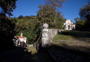
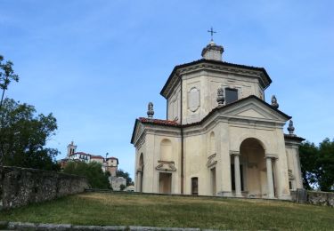
Campo dei Fiori 360: Panorami, arte e natura a 360° nel Parco Regionale Campo dei Fiori.
Website: http://www.parcocampodeifiori360.it


Te voet
Te voet
Te voet

Te voet
Te voet
Te voet
Te voet
Te voet
Te voet