


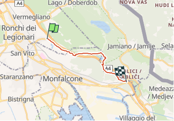

18,6 km | 26 km-effort


Tous les sentiers balisés d’Europe GUIDE+


Gratisgps-wandelapplicatie
 SityTrail
IGN / Geografische instituten
SityTrail World
De wereld gaat voor u open
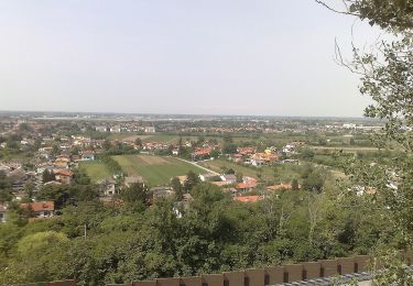
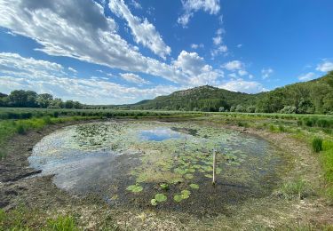
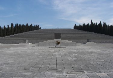
Tocht Te voet van 6,2 km beschikbaar op Friuli-Venezia Giulia, Onbekend, Ronchi dei Legionari. Deze tocht wordt voorgesteld door SityTrail - itinéraires balisés pédestres.
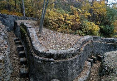
Trail created by Club Alpino Italiano (C.A.I.).
Symbol: rosso-bianco-rosso con il numero 81 in nero sulla striscia bianca


Te voet

Te voet
Te voet
Te voet
Te voet
Te voet