
IT-O642
SityTrail - itinéraires balisés pédestres
Tous les sentiers balisés d’Europe GUIDE+

Lengte
3,6 km

Max. hoogte
1332 m

Positief hoogteverschil
695 m

Km-Effort
10,6 km

Min. hoogte
631 m

Negatief hoogteverschil
1 m
Boucle
Neen
Markering
Datum van aanmaak :
2022-02-15 00:56:22.781
Laatste wijziging :
2022-02-28 19:53:50.021
2h24
Moeilijkheid : Gemakkelijk

Gratisgps-wandelapplicatie
Over ons
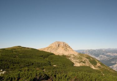
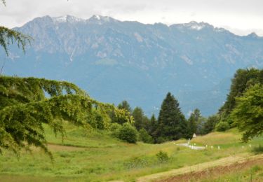
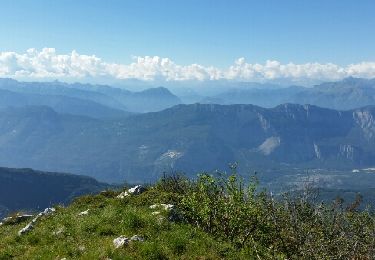
Tocht Te voet van 3,6 km beschikbaar op Trento-Zuid-Tirol, Provincia di Trento, Isera. Deze tocht wordt voorgesteld door SityTrail - itinéraires balisés pédestres.
Beschrijving
Trail created by Società degli Alpinisti Tridentini.
Website: http://www.sat.tn.it/
Plaatsbepaling
Land:
Italy
Regio :
Trento-Zuid-Tirol
Departement/Provincie :
Provincia di Trento
Gemeente :
Isera
Locatie:
Unknown
Vertrek:(Dec)
Vertrek:(UTM)
655086 ; 5085081 (32T) N.
Opmerkingen
Wandeltochten in de omgeving

Sentiero del Coston


Te voet
Gemakkelijk
Arco,
Trento-Zuid-Tirol,
Provincia di Trento,
Italy

5,4 km | 12,3 km-effort
2h 48min
Neen

IT-O617


Te voet
Medium
Arco,
Trento-Zuid-Tirol,
Provincia di Trento,
Italy

11,4 km | 23 km-effort
5h 10min
Neen

IT-O608B


Te voet
Gemakkelijk
Ronzo-Chienis,
Trento-Zuid-Tirol,
Provincia di Trento,
Italy

3,2 km | 6,5 km-effort
1h 29min
Neen

IT-O678


Te voet
Gemakkelijk
Ronzo-Chienis,
Trento-Zuid-Tirol,
Provincia di Trento,
Italy

3,5 km | 9,8 km-effort
2h 13min
Neen

IT-O623


Te voet
Gemakkelijk
Arco,
Trento-Zuid-Tirol,
Provincia di Trento,
Italy

5,2 km | 9,8 km-effort
2h 13min
Neen

Cima Alta


Stappen
Moeilijk
Villa Lagarina,
Trento-Zuid-Tirol,
Provincia di Trento,
Italy

11 km | 22 km-effort
5h 29min
Ja


 SityTrail


