


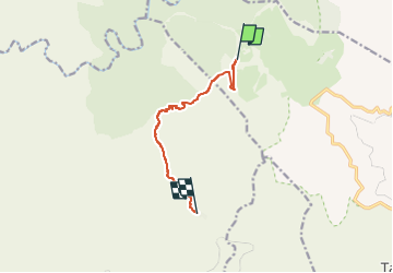

17,7 km | 29 km-effort


Tous les sentiers balisés d’Europe GUIDE+


Gratisgps-wandelapplicatie
 SityTrail
IGN / Geografische instituten
SityTrail World
De wereld gaat voor u open
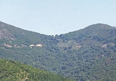
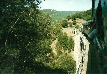
Tocht Te voet van 7,8 km beschikbaar op Sardinië, Nuoro, Gàiru/Gairo. Deze tocht wordt voorgesteld door SityTrail - itinéraires balisés pédestres.
Trail created by Ente Foreste della Sardegna.
Symbol: parallel horizontal bars red white red
Te voet
Te voet

Te voet

Stappen