


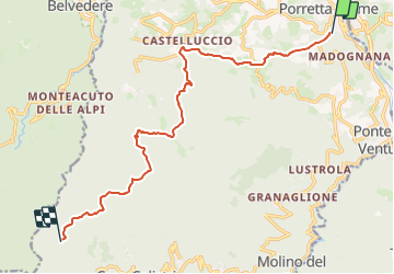

22 km | 38 km-effort

Tous les sentiers balisés d’Europe GUIDE+


Gratisgps-wandelapplicatie
 SityTrail
IGN / Geografische instituten
SityTrail World
De wereld gaat voor u open
Tocht Te voet van 13,4 km beschikbaar op Emilia-Romagna, Bologna, Alto Reno Terme. Deze tocht wordt voorgesteld door SityTrail - itinéraires balisés pédestres.
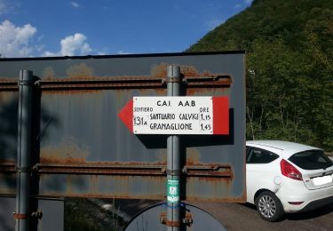
Trail created by CAI Porretta Terme.
Website: http://www.caiporretta.it/


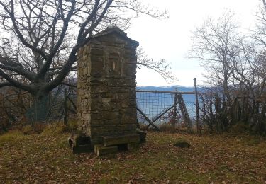
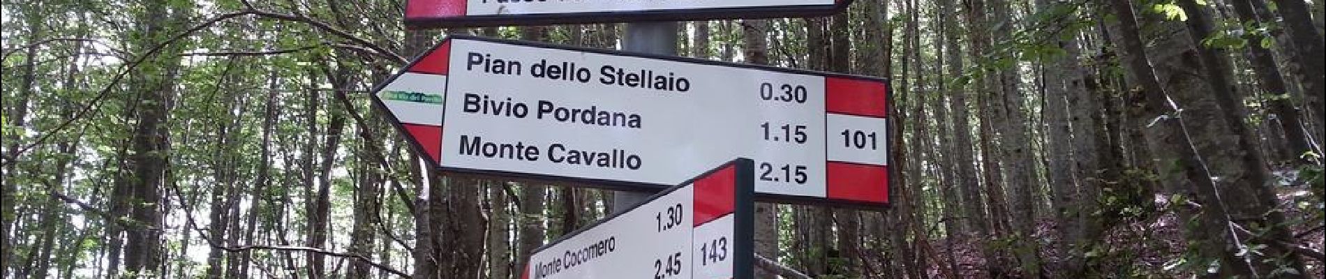
Te voet
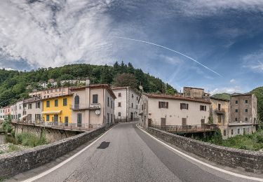
Te voet
Te voet
Te voet
Te voet
Te voet
Te voet
Te voet
Te voet