


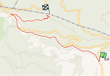

5,2 km | 8 km-effort

Tous les sentiers balisés d’Europe GUIDE+


Gratisgps-wandelapplicatie
 SityTrail
IGN / Geografische instituten
SityTrail World
De wereld gaat voor u open
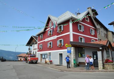
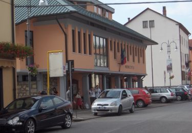
Tocht Te voet van 3,7 km beschikbaar op Veneto, Vicenza, Tonezza del Cimone. Deze tocht wordt voorgesteld door SityTrail - itinéraires balisés pédestres.
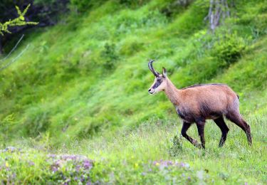
Sezione di Thiene del Club Alpino Italiano Montagna, Ambiente, Cultura, Condivisione, Formazione. Escursionismo, Alpinismo, Alpinismo Giovanile, Scialpinismo.
Website: http://www.caisezionethiene.it/


Te voet
Te voet

Te voet