


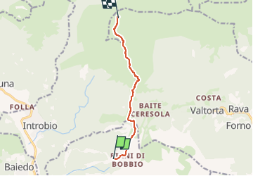

8,7 km | 14 km-effort

Tous les sentiers balisés d’Europe GUIDE+


Gratisgps-wandelapplicatie
 SityTrail
IGN / Geografische instituten
SityTrail World
De wereld gaat voor u open
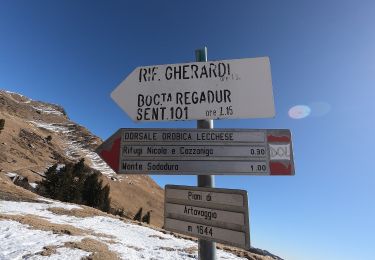
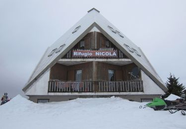
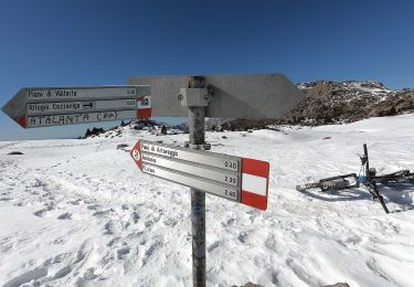
Tocht Te voet van 7 km beschikbaar op Lombardije, Lecco, Barzio. Deze tocht wordt voorgesteld door SityTrail - itinéraires balisés pédestres.
Trail created by SEL.
Symbol: yellow-white-red vertical bars with black text "36"
 - Photo 1")
 - Photo 2")
 - Photo 3")
 - Photo 4")
 - Photo 5")
 - Photo 6")
 - Photo 7")
 - Photo 8")
 - Photo 9")
 - Photo 10")
Te voet
Te voet
Te voet
Te voet

Te voet
Te voet
Te voet
Te voet
Te voet