


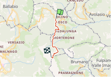

8,7 km | 14 km-effort

Tous les sentiers balisés d’Europe GUIDE+


Gratisgps-wandelapplicatie
 SityTrail
IGN / Geografische instituten
SityTrail World
De wereld gaat voor u open
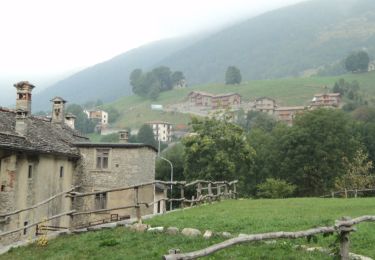
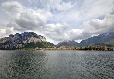
Tocht Te voet van 5,3 km beschikbaar op Lombardije, Lecco, Morterone. Deze tocht wordt voorgesteld door SityTrail - itinéraires balisés pédestres.
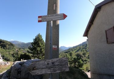
Trail created by Società Escursionisti Lecchesi.
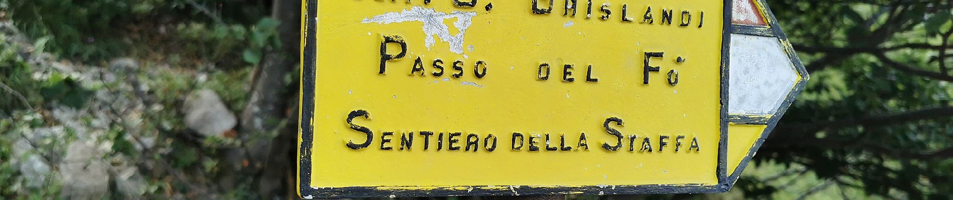
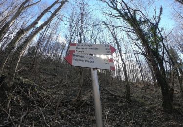
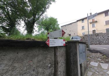
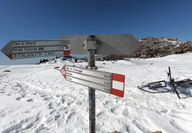
Symbol: yellow-white-red vertical stripes with black text "17" or red square with black text "17"


Te voet
Te voet
Te voet
Te voet
Te voet
Te voet
Te voet
Te voet
Te voet