![](/images/other/stat-length.png)
![Tocht Te voet Propata - Vegni - Passo Tre Croci - Photo](https://media.geolcdn.com/t/1900/400/ext.pjpeg?maxdim=2&url=https%3A%2F%2Fstatic1.geolcdn.com%2Fsiteimages%2Fupload%2Ffiles%2F1545311037marcheuse_200dpi.jpg)
Vegni - Passo Tre Croci
SityTrail - itinéraires balisés pédestres
Tous les sentiers balisés d’Europe GUIDE+
![Lengte](/images/other/stat-length.png)
Lengte
5,3 km
![Max. hoogte](https://static1.geolcdn.com/siteimages/upload/files/1508320355ic_sort_altitude_max_24dp.png)
Max. hoogte
1499 m
![Positief hoogteverschil](https://static1.geolcdn.com/siteimages/upload/files/1508320355ic_sort_den_pos_24dp.png)
Positief hoogteverschil
31 m
![Km-Effort](/images/other/stat-length.png)
Km-Effort
7,1 km
![Min. hoogte](https://static1.geolcdn.com/siteimages/upload/files/1508320355ic_sort_altitude_min_24dp.png)
Min. hoogte
1067 m
![Negatief hoogteverschil](https://static1.geolcdn.com/siteimages/upload/files/1508320355ic_sort_den_neg_24dp.png)
Negatief hoogteverschil
454 m
![Boucle](https://static1.geolcdn.com/siteimages/upload/files/16400158638029165_repeat_loop_refresh_sync_direction_icon.png)
Boucle
Neen
Markering
Datum van aanmaak :
2022-02-14 22:55:33.52
Laatste wijziging :
2022-02-28 16:35:10.294
![Te voet](https://static1.geolcdn.com/sitytour/trail-icons/100.png)
1h36
Moeilijkheid : Gemakkelijk
![Scan deze QR-code om de tocht te openen in de SityTrail-applicatie](https://capi.geolives.com/qq0zvz2zws4bq2lad0pu/sitytour/trails/3112225/qr.png?size=200)
Gratisgps-wandelapplicatie
Over ons
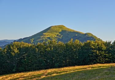
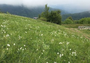
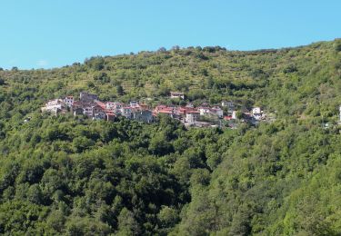
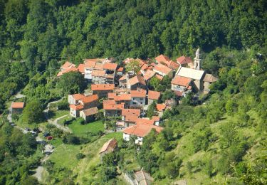
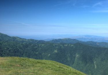
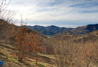
Tocht Te voet van 5,3 km beschikbaar op Ligurië, Genua, Propata. Deze tocht wordt voorgesteld door SityTrail - itinéraires balisés pédestres.
Beschrijving
Trail created by Club Alpino Italiano - sezione Novi Ligure.
Symbol: 240 on white ref flag
Plaatsbepaling
Land:
Italy
Regio :
Ligurië
Departement/Provincie :
Genua
Gemeente :
Propata
Locatie:
Unknown
Vertrek:(Dec)
Vertrek:(UTM)
513398 ; 4936756 (32T) N.
Opmerkingen
Wandeltochten in de omgeving
![Tocht Te voet Carrega Ligure - Anello Borbera - Spinti 7° Tappa Capanne di Carrega – Monte Antola - Photo](https://media.geolcdn.com/t/375/260/7b74851a-8b56-42a8-8b5f-395c6a9b439f.jpeg&format=jpg&maxdim=2)
![Te voet Te voet](https://static1.geolcdn.com/sitytour/trail-icons/100.png)
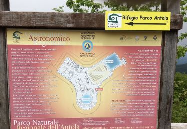
Anello Borbera - Spinti 7° Tappa Capanne di Carrega – Monte Antola
Te voet
Gemakkelijk
Carrega Ligure,
Piëmont,
Alessandria,
Italy
![](/images/other/stat-length.png)
6,2 km | 10,2 km-effort
2h 18min
![](https://static1.geolcdn.com/siteimages/upload/files/16400158638029165_repeat_loop_refresh_sync_direction_icon.png)
Neen
![Tocht Te voet Fascia - Fascia – Rondanina-Casa del Romano - Photo](https://media.geolcdn.com/t/375/260/0e042d61-446b-491e-9a8a-6c5a3f4769b3.jpeg&format=jpg&maxdim=2)
![Te voet Te voet](https://static1.geolcdn.com/sitytour/trail-icons/100.png)
Fascia – Rondanina-Casa del Romano
Te voet
Gemakkelijk
Fascia,
Ligurië,
Genua,
Italy
![](/images/other/stat-length.png)
9,5 km | 16 km-effort
3h 37min
![](https://static1.geolcdn.com/siteimages/upload/files/16400158638029165_repeat_loop_refresh_sync_direction_icon.png)
Neen
![Tocht Te voet Fascia - Casa del Romano - Fontanarossa - Casa del Romano - Photo](https://media.geolcdn.com/t/375/260/3443243c-380c-49be-b912-215e889efb6e.jpeg&format=jpg&maxdim=2)
![Te voet Te voet](https://static1.geolcdn.com/sitytour/trail-icons/100.png)
Casa del Romano - Fontanarossa - Casa del Romano
Te voet
Gemakkelijk
Fascia,
Ligurië,
Genua,
Italy
![](/images/other/stat-length.png)
5,1 km | 7,7 km-effort
1h 44min
![](https://static1.geolcdn.com/siteimages/upload/files/16400158638029165_repeat_loop_refresh_sync_direction_icon.png)
Neen
![Tocht Te voet Valbrevenna - Molino del Fullo - Monte Antola - Photo](https://media.geolcdn.com/t/375/260/1abe37a2-b716-4c0b-b352-ecd6731269bc.jpeg&format=jpg&maxdim=2)
![Te voet Te voet](https://static1.geolcdn.com/sitytour/trail-icons/100.png)
Molino del Fullo - Monte Antola
Te voet
Gemakkelijk
Valbrevenna,
Ligurië,
Genua,
Italy
![](/images/other/stat-length.png)
7,1 km | 16,7 km-effort
3h 48min
![](https://static1.geolcdn.com/siteimages/upload/files/16400158638029165_repeat_loop_refresh_sync_direction_icon.png)
Neen
![Tocht Te voet Valbrevenna - Tonno - Piancassina - Photo](https://media.geolcdn.com/t/375/260/4eb548fe-511b-486f-98fc-26ebccff6cee.jpeg&format=jpg&maxdim=2)
![Te voet Te voet](https://static1.geolcdn.com/sitytour/trail-icons/100.png)
Tonno - Piancassina
Te voet
Gemakkelijk
Valbrevenna,
Ligurië,
Genua,
Italy
![](/images/other/stat-length.png)
5,9 km | 9,1 km-effort
2h 4min
![](https://static1.geolcdn.com/siteimages/upload/files/16400158638029165_repeat_loop_refresh_sync_direction_icon.png)
Neen
![Tocht Te voet Fascia - Fascia - Costa del Fresco - Casa del Romano - Photo](https://media.geolcdn.com/t/375/260/0e042d61-446b-491e-9a8a-6c5a3f4769b3.jpeg&format=jpg&maxdim=2)
![Te voet Te voet](https://static1.geolcdn.com/sitytour/trail-icons/100.png)
Fascia - Costa del Fresco - Casa del Romano
Te voet
Gemakkelijk
Fascia,
Ligurië,
Genua,
Italy
![](/images/other/stat-length.png)
3,8 km | 5,8 km-effort
1h 19min
![](https://static1.geolcdn.com/siteimages/upload/files/16400158638029165_repeat_loop_refresh_sync_direction_icon.png)
Neen
![Tocht Te voet Propata - Caffarena - Casa del Romano (Ippovia Antola sud) - Photo](https://media.geolcdn.com/t/375/260/0e042d61-446b-491e-9a8a-6c5a3f4769b3.jpeg&format=jpg&maxdim=2)
![Te voet Te voet](https://static1.geolcdn.com/sitytour/trail-icons/100.png)
Caffarena - Casa del Romano (Ippovia Antola sud)
Te voet
Gemakkelijk
Propata,
Ligurië,
Genua,
Italy
![](/images/other/stat-length.png)
5,4 km | 10,3 km-effort
2h 20min
![](https://static1.geolcdn.com/siteimages/upload/files/16400158638029165_repeat_loop_refresh_sync_direction_icon.png)
Neen
![Tocht Te voet Carrega Ligure - Capanne di Carrega - Passo della Maddalena - Photo](https://media.geolcdn.com/t/375/260/7ac15c08-fe5d-4c16-aba2-7272fe25cdab.jpeg&format=jpg&maxdim=2)
![Te voet Te voet](https://static1.geolcdn.com/sitytour/trail-icons/100.png)
Capanne di Carrega - Passo della Maddalena
Te voet
Gemakkelijk
Carrega Ligure,
Piëmont,
Alessandria,
Italy
![](/images/other/stat-length.png)
4 km | 6,7 km-effort
1h 31min
![](https://static1.geolcdn.com/siteimages/upload/files/16400158638029165_repeat_loop_refresh_sync_direction_icon.png)
Neen
![Tocht Te voet Rondanina - Anello di Rondanina - Photo](https://media.geolcdn.com/t/375/260/ef5ff0bb-4d83-4547-b997-90bee371d786.jpeg&format=jpg&maxdim=2)
![Te voet Te voet](https://static1.geolcdn.com/sitytour/trail-icons/100.png)
Anello di Rondanina
Te voet
Gemakkelijk
Rondanina,
Ligurië,
Genua,
Italy
![](/images/other/stat-length.png)
4,5 km | 8,1 km-effort
1h 50min
![](https://static1.geolcdn.com/siteimages/upload/files/16400158638029165_repeat_loop_refresh_sync_direction_icon.png)
Neen