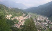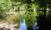

(SI C11S) Rifugio Potzmauer - Masi Alti di Grumes - Gràuno - Bivacco forestale Fontana d'Ao - Capriana - Carbonare - Carnatscher - Maso Trenta - Molina di Fiemme
SityTrail - itinéraires balisés pédestres
Tous les sentiers balisés d’Europe GUIDE+

Lengte
23 km

Max. hoogte
1376 m

Positief hoogteverschil
914 m

Km-Effort
37 km

Min. hoogte
798 m

Negatief hoogteverschil
1429 m
Boucle
Neen
Markering
Datum van aanmaak :
2022-02-14 22:14:58.772
Laatste wijziging :
2022-02-28 15:40:01.066
8h23
Moeilijkheid : Moeilijk

Gratisgps-wandelapplicatie
Over ons
Tocht Te voet van 23 km beschikbaar op Trento-Zuid-Tirol, Provincia di Trento, Altavalle. Deze tocht wordt voorgesteld door SityTrail - itinéraires balisés pédestres.
Beschrijving
Sentiero Italia CAI 2019
Plaatsbepaling
Land:
Italy
Regio :
Trento-Zuid-Tirol
Departement/Provincie :
Provincia di Trento
Gemeente :
Altavalle
Locatie:
Unknown
Vertrek:(Dec)
Vertrek:(UTM)
673649 ; 5122551 (32T) N.
Opmerkingen
Wandeltochten in de omgeving
(SI C11N) Potzmauer - Malga Parco Corno


Te voet
Gemakkelijk
Altavalle,
Trento-Zuid-Tirol,
Provincia di Trento,
Italy

11,8 km | 18,9 km-effort
4h 17min
Neen
IT-E415


Te voet
Gemakkelijk
Altavalle,
Trento-Zuid-Tirol,
Provincia di Trento,
Italy

7,2 km | 10,3 km-effort
2h 20min
Neen
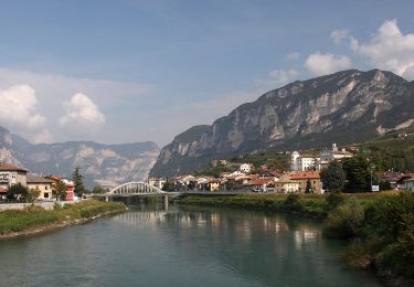
IT-E414


Te voet
Gemakkelijk
Cembra Lisignago,
Trento-Zuid-Tirol,
Provincia di Trento,
Italy

8,7 km | 12,1 km-effort
2h 45min
Neen
(SI C10) Salorno (Salurn) - Laghetti (Laag) - Ponte Romano - Pochi (Buchholz)...


Te voet
Zeer moeilijk
Salorno sulla Strada del Vino - Salurn an der Weinstraße,
Trento-Zuid-Tirol,
Bolzano - Bozen,
Italy

26 km | 43 km-effort
9h 41min
Neen

Sentiero Botanico sul dossone di Cembra


Te voet
Gemakkelijk
Altavalle,
Trento-Zuid-Tirol,
Provincia di Trento,
Italy

7,1 km | 11,3 km-effort
2h 34min
Neen

IT-E481A


Te voet
Gemakkelijk
Capriana,
Trento-Zuid-Tirol,
Provincia di Trento,
Italy

3,5 km | 6,5 km-effort
1h 28min
Neen

IT-E481


Te voet
Gemakkelijk
Altavalle,
Trento-Zuid-Tirol,
Provincia di Trento,
Italy

6,4 km | 11 km-effort
2h 30min
Neen


 SityTrail


