![](/images/other/stat-length.png)
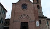
![Tocht Te voet Sovicille - IT-112 - Photo](https://media.geolcdn.com/t/1900/400/3c9e8849-bbf1-428f-8950-8147b63bf8c4.jpeg&format=pjpeg&maxdim=2)
IT-112
SityTrail - itinéraires balisés pédestres
Tous les sentiers balisés d’Europe GUIDE+
![Lengte](/images/other/stat-length.png)
Lengte
4,9 km
![Max. hoogte](https://static1.geolcdn.com/siteimages/upload/files/1508320355ic_sort_altitude_max_24dp.png)
Max. hoogte
579 m
![Positief hoogteverschil](https://static1.geolcdn.com/siteimages/upload/files/1508320355ic_sort_den_pos_24dp.png)
Positief hoogteverschil
17 m
![Km-Effort](/images/other/stat-length.png)
Km-Effort
6,2 km
![Min. hoogte](https://static1.geolcdn.com/siteimages/upload/files/1508320355ic_sort_altitude_min_24dp.png)
Min. hoogte
241 m
![Negatief hoogteverschil](https://static1.geolcdn.com/siteimages/upload/files/1508320355ic_sort_den_neg_24dp.png)
Negatief hoogteverschil
343 m
![Boucle](https://static1.geolcdn.com/siteimages/upload/files/16400158638029165_repeat_loop_refresh_sync_direction_icon.png)
Boucle
Neen
Markering
Datum van aanmaak :
2022-02-14 21:54:20.283
Laatste wijziging :
2022-02-28 14:23:12.09
![Te voet](https://static1.geolcdn.com/sitytour/trail-icons/100.png)
1h24
Moeilijkheid : Gemakkelijk
![Scan deze QR-code om de tocht te openen in de SityTrail-applicatie](https://capi.geolives.com/qq0zvz2zws4bq2lad0pu/sitytour/trails/3111777/qr.png?size=200)
Gratisgps-wandelapplicatie
Over ons
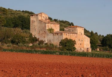
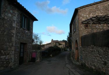
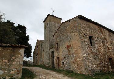
Tocht Te voet van 4,9 km beschikbaar op Toscane, Siena, Sovicille. Deze tocht wordt voorgesteld door SityTrail - itinéraires balisés pédestres.
Beschrijving
Trail created by CAI Siena.
Symbol: red square and white bar with black text
Plaatsbepaling
Land:
Italy
Regio :
Toscane
Departement/Provincie :
Siena
Gemeente :
Sovicille
Locatie:
Unknown
Vertrek:(Dec)
Vertrek:(UTM)
677316 ; 4794304 (32T) N.
Opmerkingen
Wandeltochten in de omgeving
![Tocht Te voet Sovicille - IT-C1 - Photo](https://media.geolcdn.com/t/375/260/7d0bc7d4-23bb-4f73-a4e7-003bfbdf2bd7.jpeg&format=jpg&maxdim=2)
![Te voet Te voet](https://static1.geolcdn.com/sitytour/trail-icons/100.png)
![Tocht Te voet Sovicille - IT-118 - Photo](https://media.geolcdn.com/t/375/260/89f53968-acc5-4be8-99da-1f06b9028e2b.jpeg&format=jpg&maxdim=2)
![Te voet Te voet](https://static1.geolcdn.com/sitytour/trail-icons/100.png)
![Tocht Te voet Sovicille - IT-114 - Photo](https://media.geolcdn.com/t/375/260/4ef8bfec-ac08-4d9d-a270-1e4f185cc97e.jpeg&format=jpg&maxdim=2)
![Te voet Te voet](https://static1.geolcdn.com/sitytour/trail-icons/100.png)
![Tocht Te voet Casole d'Elsa - IT-111 - Photo](https://media.geolcdn.com/t/375/260/9efa1b0f-7557-4a99-b86f-4af1596eb5d1.jpeg&format=jpg&maxdim=2)
![Te voet Te voet](https://static1.geolcdn.com/sitytour/trail-icons/100.png)
![Tocht Te voet Casole d'Elsa - IT-107 - Photo](https://media.geolcdn.com/t/375/260/7d0bc7d4-23bb-4f73-a4e7-003bfbdf2bd7.jpeg&format=jpg&maxdim=2)
![Te voet Te voet](https://static1.geolcdn.com/sitytour/trail-icons/100.png)
IT-107
Te voet
Gemakkelijk
Casole d'Elsa,
Toscane,
Siena,
Italy
![](/images/other/stat-length.png)
6,3 km | 10,6 km-effort
2h 24min
![](https://static1.geolcdn.com/siteimages/upload/files/16400158638029165_repeat_loop_refresh_sync_direction_icon.png)
Neen
![Tocht Te voet Sovicille - IT-110 - Photo](https://media.geolcdn.com/t/375/260/65aaeff4-4e09-4a25-be06-4ec7233c5254.jpeg&format=jpg&maxdim=2)
![Te voet Te voet](https://static1.geolcdn.com/sitytour/trail-icons/100.png)
![Tocht Stappen Siena - Le due eremi - Photo](https://media.geolcdn.com/t/375/260/ext.jpg?maxdim=2&url=https%3A%2F%2Fstatic1.geolcdn.com%2Fsiteimages%2Fupload%2Ffiles%2F1553511878bg_sport_marche.png)
![Stappen Stappen](https://static1.geolcdn.com/sitytour/trail-icons/101.png)
Le due eremi
Stappen
Heel gemakkelijk
Siena,
Toscane,
Siena,
Italy
![](/images/other/stat-length.png)
9,2 km | 12,2 km-effort
2h 51min
![](https://static1.geolcdn.com/siteimages/upload/files/16400158638029165_repeat_loop_refresh_sync_direction_icon.png)
Ja