


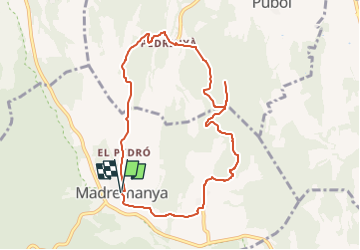

5,6 km | 6 km-effort

Tous les sentiers balisés d’Europe GUIDE+


Gratisgps-wandelapplicatie
 SityTrail
IGN / Geografische instituten
SityTrail World
De wereld gaat voor u open
Tocht Te voet van 9,4 km beschikbaar op Catalonië, Gerona, Madremanya. Deze tocht wordt voorgesteld door SityTrail - itinéraires balisés pédestres.
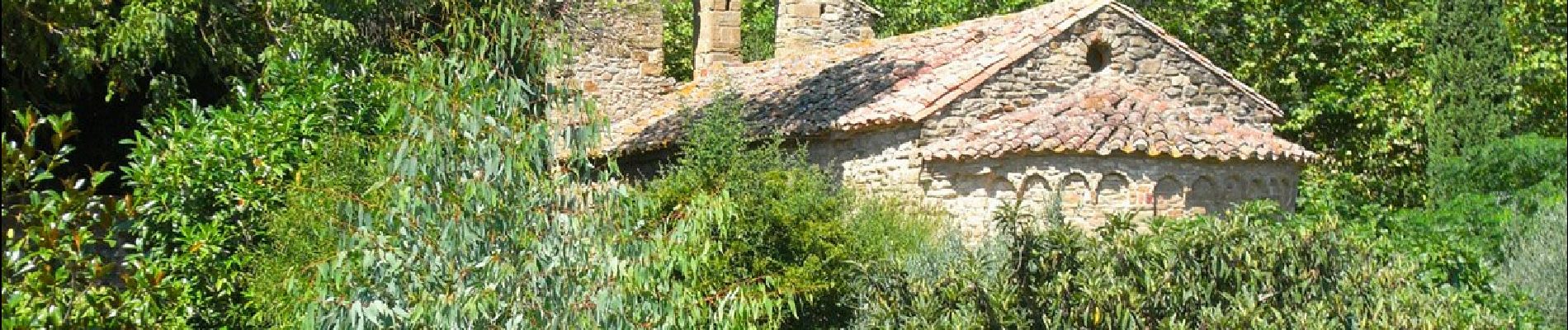
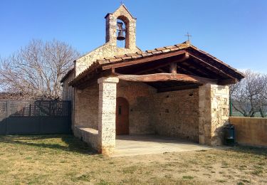
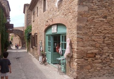
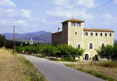
Breu introducció. Ruta matinal pels voltants de Madremanya, a la comarca del Gironès, que passa pels nuclis de Millàs i Pedrinyà, i per prats i boscos amb boniques vistes dels cims de les Gavarres i del Pirineu gironí. Dades tècniques: Durada de la ruta. Aproximadament unes 2.30-3.00 hores, per a una persona acostumada a caminar,…
Website: https://senderismegirona.org/2018/04/05/ruta-de-madremanya-a-millas-i-pedrinya/


Stappen
Stappen
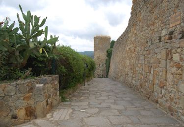
Te voet
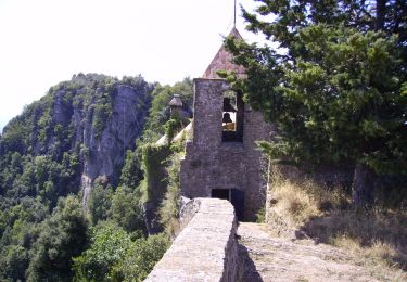
Te voet
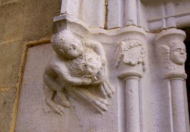
Te voet
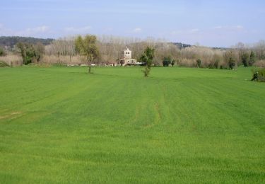
Te voet
Te voet
Te voet
Te voet