Tocht Te voet Ribes de Freser - Ribes de Freser-El Baell-Campelles - Photo

Ribes de Freser-El Baell-Campelles

Tous les sentiers balisés d’Europe GUIDE+

© OpenStreetMap contributors
Lengte
Lengte
14,8 km
Max. hoogte
Max. hoogte
1313 m
Positief hoogteverschil
735 m
Km-Effort
Km-Effort  
25 km
Min. hoogte
Min. hoogte
842 m
Negatief hoogteverschil
732 m
Boucle
Boucle
Ja
Markering
Markering
Datum van aanmaak :
2022-02-14 15:45:16.121
Laatste wijziging :
2022-02-14 15:45:16.121

(0 Bericht)

Te voet
Te voet
5h35
Moeilijkheid : Medium

Scan deze QR-code om de tocht te openen in de SityTrail-applicatie

Gratisgps-wandelapplicatie

Logo SityTrail SityTrail

IGN / Geografische instituten

SityTrail uit de App Store downloaden SityTrail uit Google Play downloaden

Logo SityTrail SityTrail World
De wereld gaat voor u open

SityTrail uit de App Store downloaden SityTrail uit Google Play downloaden SityTrail op Huawei AppGallery downloaden

Over ons

Tocht Te voet van 14,8 km beschikbaar op Catalonië, Gerona, Ribes de Freser. Deze tocht wordt voorgesteld door SityTrail - itinéraires balisés pédestres.

Beschrijving

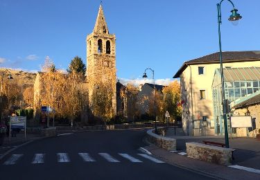
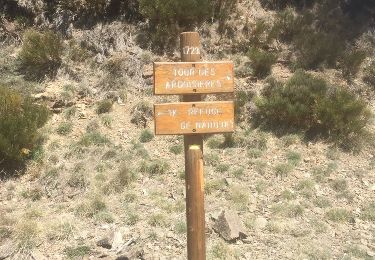
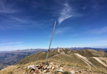
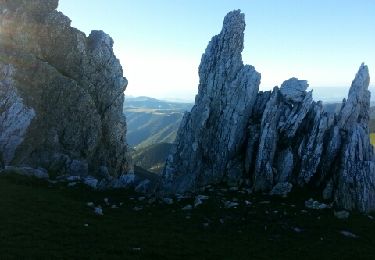
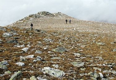
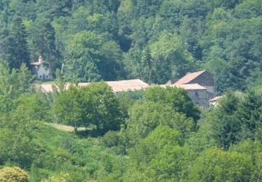
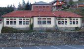
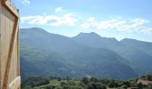
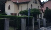
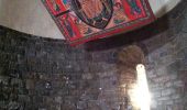
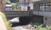
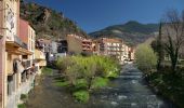
Breu introducció. Ruta circular que passa pels nuclis de El Baell i Campelles i per l´ermita de Sant Antoni, passant per zones boscoses, i altres amb vistes panoràmiques dels cims de Núria i del Taga. Dades tècniques: Durada de la ruta. Aproximadament unes 5-5.15 hores, per a una persona acostumada a caminar, i sense comptar…

Website: https://senderismegirona.org/2019/10/25/ruta-88-ribes-de-freser-a-el-baell-i-campelles/

Hoogteprofiel

Foto's

Plaatsbepaling

Land:
Spain
Regio :
Catalonië
Departement/Provincie :
Gerona
Gemeente :
Ribes de Freser
Locatie:
Unknown
Vertrek:(UTM)
431372 ; 4684091 (31T) N.

Wandeltochten in de omgeving

Tocht Stappen Ur - de Ur vers La Chapelle de Belloc - Photo
Stappen
ThonyM

Stappen

Gemakkelijk
(1)
Ur, Occitanië, Pyrénées-Orientales, France
20 km | 28 km-effort
7h 14min
Ja
Tocht Stappen Nahuja - boucle de Nahuja - Photo
Stappen
crijack

Stappen

Medium
(1)
Nahuja, Occitanië, Pyrénées-Orientales, France
11,8 km | 18,2 km-effort
2h 44min
Ja
Tocht Stappen Eyne - Eyne,col de Nuria,pic d'Eyne,Torre d'Eyne,Eyne. - Photo
Stappen
Machaon6

Stappen

Zeer moeilijk
(1)
Eyne, Occitanië, Pyrénées-Orientales, France
24 km | 43 km-effort
8h 44min
Ja
Tocht Stappen Prats-de-Mollo-la-Preste - Pic de Costabonne par les Conques_T - Photo
Stappen
force

Stappen

Medium
(1)
Prats-de-Mollo-la-Preste, Occitanië, Pyrénées-Orientales, France
20 km | 36 km-effort
7h 56min
Ja
Tocht Stappen Py - Roc Colom - Photo
Stappen
tracegps

Stappen

Moeilijk
(1)
Py, Occitanië, Pyrénées-Orientales, France
19,4 km | 34 km-effort
4h 30min
Neen
Tocht Stappen Eyne - Le Cambre d'Ase - Photo
Stappen
tracegps

Stappen

Moeilijk
(1)
Eyne, Occitanië, Pyrénées-Orientales, France
8,9 km | 22 km-effort
4h 0min
Ja
Tocht Stappen Eyne - Vallée d'Eyne - Photo
Stappen
GUIDE
nadinebondoux

Stappen

Medium
Eyne, Occitanië, Pyrénées-Orientales, France
10,7 km | 17,6 km-effort
4h 40min
Ja
Tocht Te voet Campdevànol - itinerari de natura dels Gorgs del Torrent de la Cabana - Photo
Te voet
GUIDE+

Te voet

Gemakkelijk
Campdevànol, Catalonië, Gerona, Spain
8,1 km | 11,9 km-effort
2h 41min
Ja
Tocht Te voet Vilallonga de Ter - Vilallonga de Ter-Llanars - Photo
Te voet
GUIDE+

Te voet

Gemakkelijk
Vilallonga de Ter, Catalonië, Gerona, Spain
8,9 km | 13,3 km-effort
3h 1min
Ja


Sluiten
Mijn abonnementen