


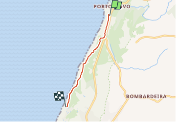

4,4 km | 5,4 km-effort


Tous les sentiers balisés d’Europe GUIDE+


Gratisgps-wandelapplicatie
 SityTrail
IGN / Geografische instituten
SityTrail World
De wereld gaat voor u open
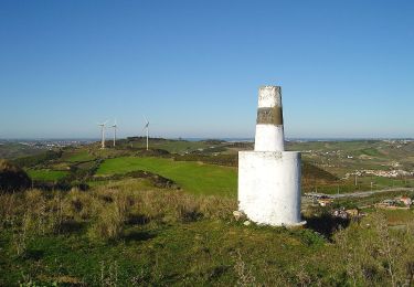
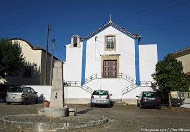
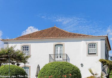
Tocht Te voet van 3,4 km beschikbaar op Centro, Lissabon, A dos Cunhados e Maceira. Deze tocht wordt voorgesteld door SityTrail - itinéraires balisés pédestres.
Trail created by Município de Torres Vedras.
Website: http://www.cm-tvedras.pt/atividade-fisica/percursos-pedestres/pr2-tvd/


Te voet
Te voet
Te voet
Te voet
Te voet

Te voet

Te voet

Te voet
Te voet