


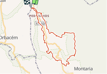

9,8 km | 14,7 km-effort

Tous les sentiers balisés d’Europe GUIDE+


Gratisgps-wandelapplicatie
 SityTrail
IGN / Geografische instituten
SityTrail World
De wereld gaat voor u open
Tocht Te voet van 10,1 km beschikbaar op Norte, Viana do Castelo, Montaria. Deze tocht wordt voorgesteld door SityTrail - itinéraires balisés pédestres.
PASSOS DE MEMÓRIA Plano Anual de Percursos Pedestres 2022(calendarização sujeita a alterações) Data Nome do Trilho Hora 22.Jan PR 5 – Trilho do Pincho - Montaria - 9.7 Km 9H 19.Fev PR 27 - Trilho da Rota da Murta | Vilar de Murteda - 7,4 Km 9H 26.Mar PR 24 – Trilho dos Castros...
Website: http://www.cm-viana-castelo.pt/pt/percursos-pedestres-ciclovia


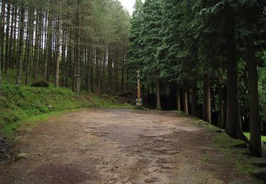
Te voet
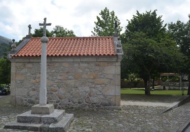
Te voet
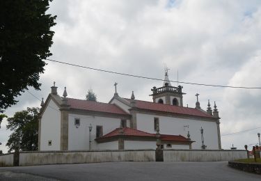
Te voet
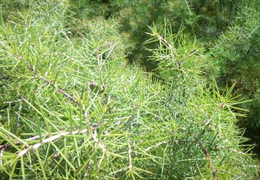
Te voet
Te voet
Te voet