


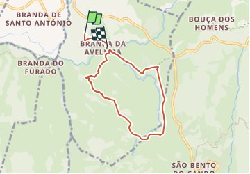

9,9 km | 17,1 km-effort

Tous les sentiers balisés d’Europe GUIDE+


Gratisgps-wandelapplicatie
 SityTrail
IGN / Geografische instituten
SityTrail World
De wereld gaat voor u open
Tocht Te voet van 6,8 km beschikbaar op Norte, Viana do Castelo, Gave. Deze tocht wordt voorgesteld door SityTrail - itinéraires balisés pédestres.
Trail created by Junta de Freguesia de Gave, Concelho de Melgaço.
Symbol: Yellow over Red
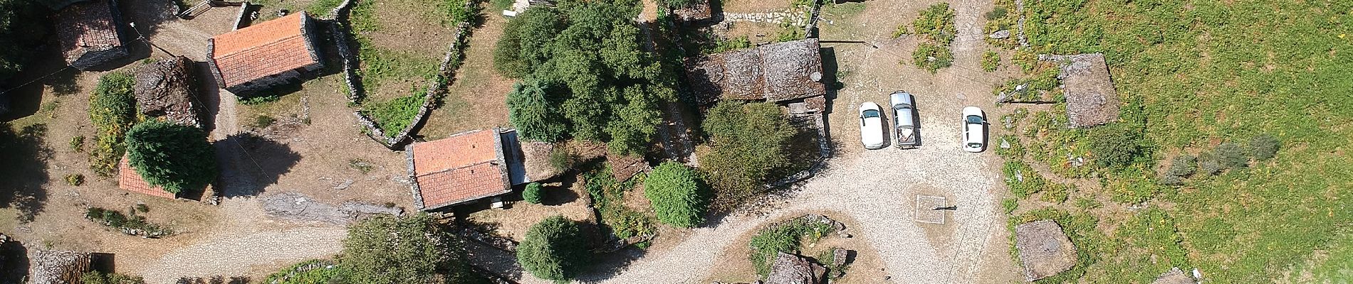
Website: http://www.brandadaaveleira.com/index.php?p=52


Te voet

Te voet
Te voet