


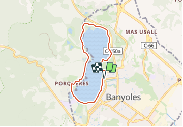

8,3 km | 9,9 km-effort

Tous les sentiers balisés d’Europe GUIDE+


Gratisgps-wandelapplicatie
 SityTrail
IGN / Geografische instituten
SityTrail World
De wereld gaat voor u open
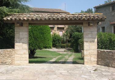
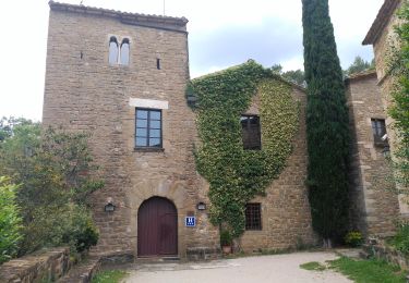
Tocht Te voet van 6,3 km beschikbaar op Catalonië, Gerona, Banyoles. Deze tocht wordt voorgesteld door SityTrail - itinéraires balisés pédestres.
Trail created by Ajuntament de Banyoles.
Website: http://turisme.banyoles.cat/Portals/0/Documents/Volta Estany CAT_2011.pdf?ver=2017-03-22-114251-920


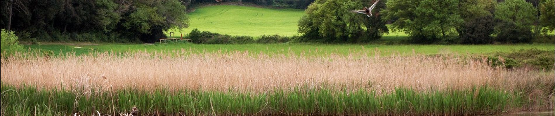
Te voet
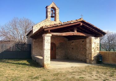
Te voet
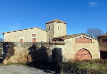
Te voet
Te voet
Te voet
Te voet
Te voet
Te voet
Te voet