


14 km | 19,4 km-effort

Tous les sentiers balisés d’Europe GUIDE+


Gratisgps-wandelapplicatie
 SityTrail
IGN / Geografische instituten
SityTrail World
De wereld gaat voor u open
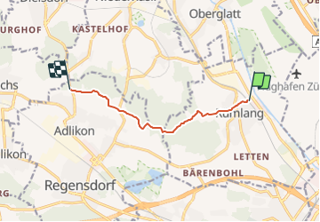
Tocht Te voet van 6,6 km beschikbaar op Zürich, Bezirk Dielsdorf, Rümlang. Deze tocht wordt voorgesteld door SityTrail - itinéraires balisés pédestres.
Trail created by Zürcher Wanderwege ZAW.
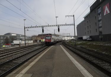
Rümlang - Bösbuck
Symbol: gelbe Raute


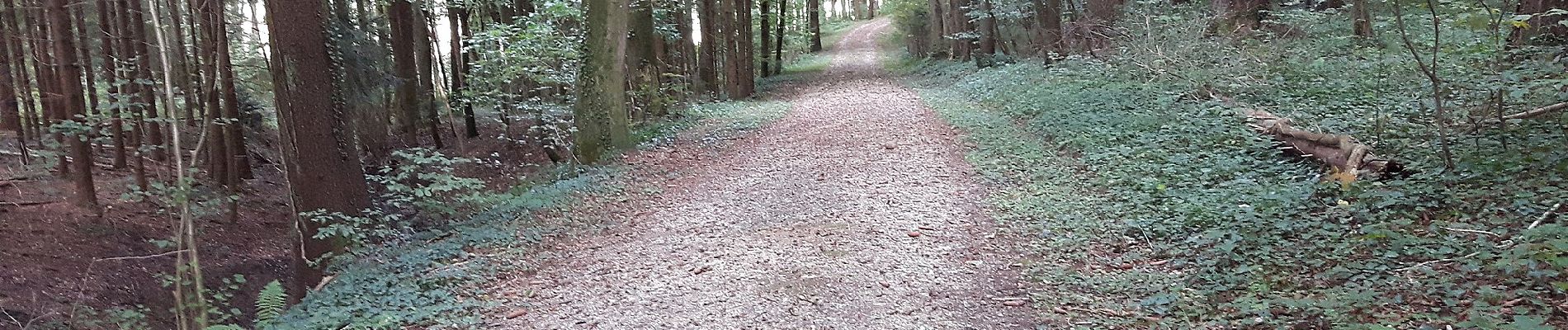
Te voet
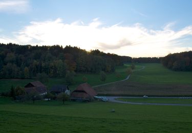
Te voet
Te voet
Te voet
Te voet
Te voet

Te voet
Te voet
Te voet