


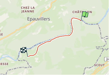

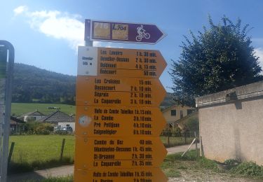
7,3 km | 10,2 km-effort

Tous les sentiers balisés d’Europe GUIDE+


Gratisgps-wandelapplicatie
 SityTrail
IGN / Geografische instituten
SityTrail World
De wereld gaat voor u open
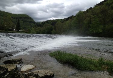
Tocht Te voet van 3,4 km beschikbaar op Jura, District des Franches-Montagnes, Saint-Brais. Deze tocht wordt voorgesteld door SityTrail - itinéraires balisés pédestres.
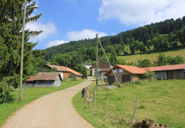
Tariche - Le Poye
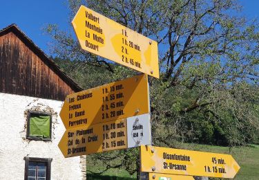
Symbol: gelber Diamant

Te voet
Te voet
Te voet
Te voet
Te voet
Te voet
Te voet
Te voet
Te voet