


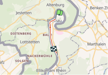

5,4 km | 6,3 km-effort

Tous les sentiers balisés d’Europe GUIDE+


Gratisgps-wandelapplicatie
 SityTrail
IGN / Geografische instituten
SityTrail World
De wereld gaat voor u open
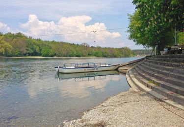
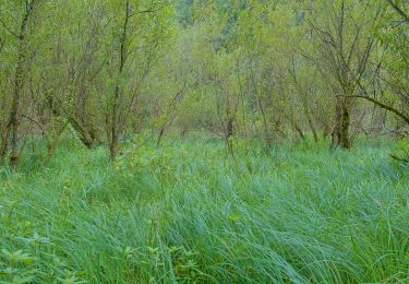
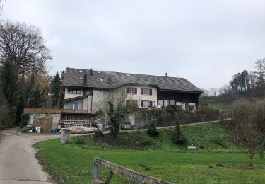
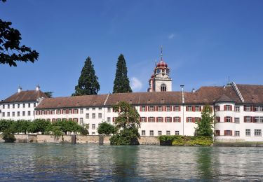
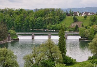
Tocht Te voet van 3,8 km beschikbaar op Zürich, Bezirk Andelfingen, Rheinau. Deze tocht wordt voorgesteld door SityTrail - itinéraires balisés pédestres.
Brücke Rheinau - Strick
Symbol: gelber Diamant (waagrecht)


Te voet
Te voet

Te voet
Te voet
Te voet
Te voet
Te voet
Te voet
Te voet