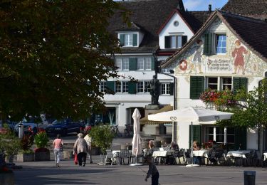

Richterswil Bahnhof - Wädenswil Bahnhof
SityTrail - itinéraires balisés pédestres
Tous les sentiers balisés d’Europe GUIDE+

Lengte
5 km

Max. hoogte
570 m

Positief hoogteverschil
181 m

Km-Effort
7,4 km

Min. hoogte
406 m

Negatief hoogteverschil
178 m
Boucle
Neen
Markering
Datum van aanmaak :
2022-02-14 08:44:11.016
Laatste wijziging :
2022-02-14 08:44:11.016
1h41
Moeilijkheid : Gemakkelijk

Gratisgps-wandelapplicatie
Over ons
Tocht Te voet van 5 km beschikbaar op Zürich, Bezirk Horgen, Richterswil. Deze tocht wordt voorgesteld door SityTrail - itinéraires balisés pédestres.
Beschrijving
Richterswil Bahnhof - Wädenswil Bahnhof
Symbol: gelber Diamant
Plaatsbepaling
Land:
Switzerland
Regio :
Zürich
Departement/Provincie :
Bezirk Horgen
Gemeente :
Richterswil
Locatie:
Unknown
Vertrek:(Dec)
Vertrek:(UTM)
477845 ; 5228397 (32T) N.
Opmerkingen
Wandeltochten in de omgeving

Stäfa. Ein Dorf bewegt: Mutzmalen - Lattenberg


Te voet
Gemakkelijk
Stäfa,
Zürich,
Bezirk Meilen,
Switzerland

4,2 km | 5,2 km-effort
1h 10min
Ja

Stäfa-ein Dorf bewegt: Risitobel - Püntacher


Te voet
Gemakkelijk
Stäfa,
Zürich,
Bezirk Meilen,
Switzerland

5,2 km | 7,7 km-effort
1h 44min
Ja

Hombrechtikon - Pfannenstiel Hochwacht


Te voet
Gemakkelijk
Hombrechtikon,
Zürich,
Bezirk Meilen,
Switzerland

10 km | 14,6 km-effort
3h 19min
Neen

Stäfa Schiff - Oetwil


Te voet
Gemakkelijk
Stäfa,
Zürich,
Bezirk Meilen,
Switzerland

4,6 km | 7,1 km-effort
1h 37min
Neen

Stäfa-ein Dorf bewegt: Top of Stäfa


Te voet
Gemakkelijk
Stäfa,
Zürich,
Bezirk Meilen,
Switzerland

8 km | 11,1 km-effort
2h 30min
Ja

Grüningen Haufland - Stäfa Schiff


Te voet
Gemakkelijk
Stäfa,
Zürich,
Bezirk Meilen,
Switzerland

8,5 km | 11,9 km-effort
2h 42min
Neen

Stäfa-ein Dorf bewegt: Frohberg - Torlen


Te voet
Gemakkelijk
Stäfa,
Zürich,
Bezirk Meilen,
Switzerland

4,5 km | 5,4 km-effort
1h 14min
Ja

Panoramaweg March Höfe


Te voet
Medium
Feusisberg,
Schwyz,
Höfe,
Switzerland

19,8 km | 28 km-effort
6h 24min
Neen

St. Meinrad - Chlos


Te voet
Gemakkelijk
Feusisberg,
Schwyz,
Höfe,
Switzerland

3,2 km | 4,5 km-effort
1h 0min
Neen


 SityTrail


