


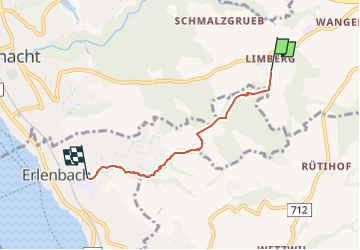

3,6 km | 5,5 km-effort

Tous les sentiers balisés d’Europe GUIDE+


Gratisgps-wandelapplicatie
 SityTrail
IGN / Geografische instituten
SityTrail World
De wereld gaat voor u open
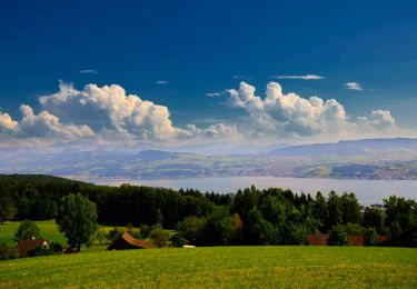
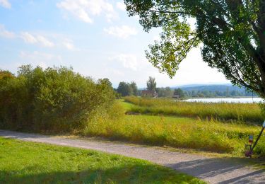
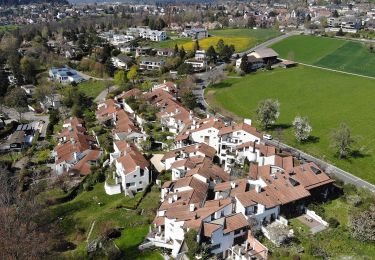
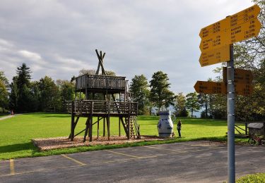
Tocht Te voet van 3,6 km beschikbaar op Zürich, Bezirk Meilen, Küsnacht (ZH). Deze tocht wordt voorgesteld door SityTrail - itinéraires balisés pédestres.
Trail created by Zürcher Wanderwege ZAW.
Symbol: gelber Diamant
 - Limberg - Erlenbach Dorfbach - Photo 1")
Te voet
Te voet
Te voet
Te voet
Te voet
Te voet
Te voet
Te voet

Te voet