


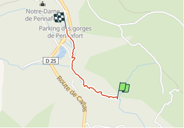

17,3 km | 26 km-effort

Gebruiker


Gratisgps-wandelapplicatie
 SityTrail
IGN / Geografische instituten
SityTrail World
De wereld gaat voor u open
Tocht Stappen van 785 m beschikbaar op Provence-Alpes-Côte d'Azur, Var, Callas. Deze tocht wordt voorgesteld door ericf64.
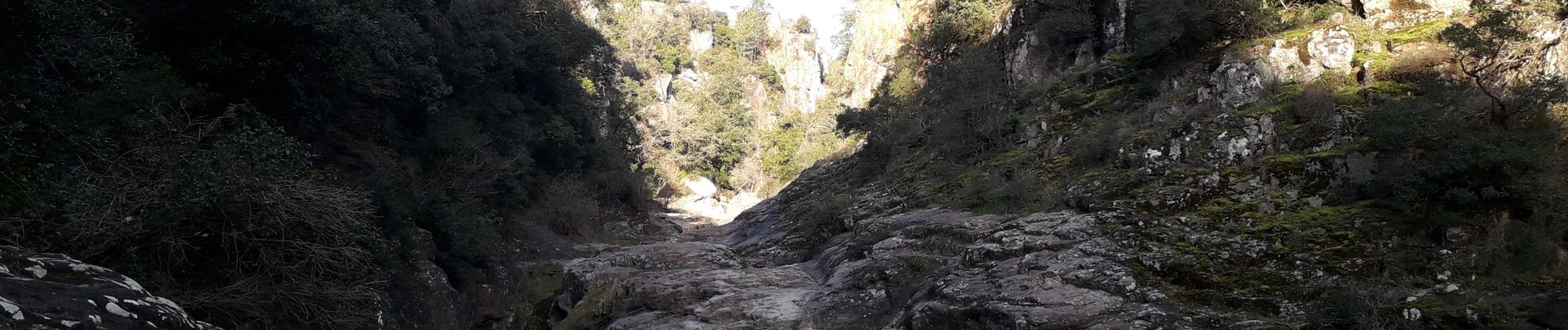
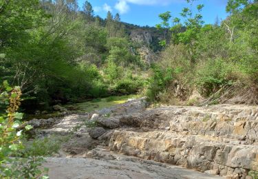
40 minutes aller-retour. la deuxième partie du chemin se transforme en passage entre les baignoires sur les rochers au fond de la gorge. très jolie


Stappen

Stappen

Stappen

Stappen

Stappen
Stappen
Te voet
Stappen
Stappen