


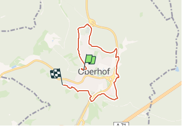

11,3 km | 14 km-effort

Tous les sentiers balisés d’Europe GUIDE+


Gratisgps-wandelapplicatie
 SityTrail
IGN / Geografische instituten
SityTrail World
De wereld gaat voor u open
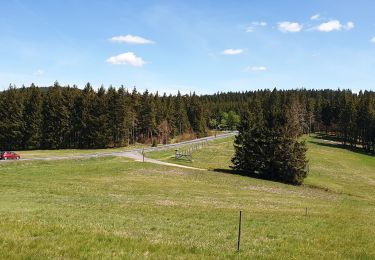
Tocht Te voet van 6 km beschikbaar op Thüringen, Landkreis Schmalkalden-Meiningen, Oberhof. Deze tocht wordt voorgesteld door SityTrail - itinéraires balisés pédestres.
Trail created by Oberhofer Freizeit und Tourismus GmbH.
Symbol: wandernder Schneemann - Schneemann "Flocke" mit Wanderstock


Te voet
Te voet
Te voet
Te voet

Te voet
Te voet
Te voet
Te voet