


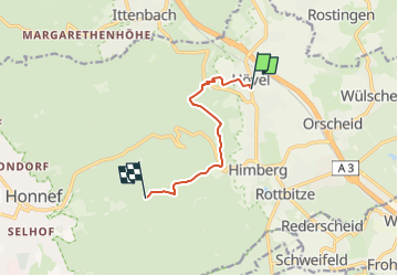

6,9 km | 8,8 km-effort

Tous les sentiers balisés d’Europe GUIDE+


Gratisgps-wandelapplicatie
 SityTrail
IGN / Geografische instituten
SityTrail World
De wereld gaat voor u open
Tocht Te voet van 6 km beschikbaar op Noordrijn-Westfalen, Rhein-Sieg-Kreis, Bad Honnef. Deze tocht wordt voorgesteld door SityTrail - itinéraires balisés pédestres.
Trail created by Romantischer Rhein Tourismus GmbH.
Symbol: Stilisiertes weißes R auf gelbem Grund


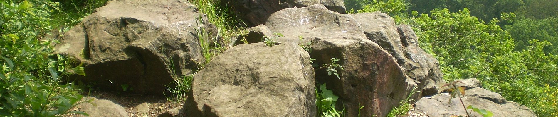
![Tocht Te voet Windhagen - [W2] Windhagener Weg - Photo](https://media.geolcdn.com/t/375/260/adef9696-6d08-4cbb-94cd-bba75114ff6a.jpeg&format=jpg&maxdim=2)
Te voet
Te voet
Te voet

Te voet
Te voet
Te voet
Te voet

Stappen