


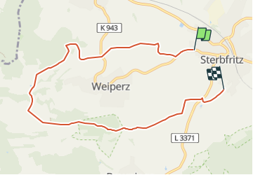

7,1 km | 9,4 km-effort

Tous les sentiers balisés d’Europe GUIDE+


Gratisgps-wandelapplicatie
 SityTrail
IGN / Geografische instituten
SityTrail World
De wereld gaat voor u open
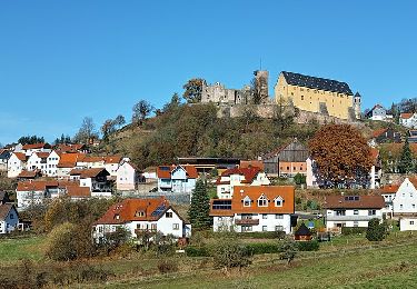
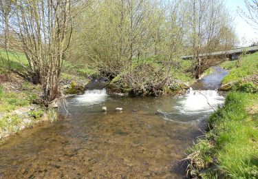
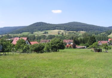
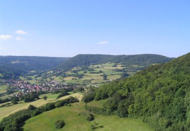
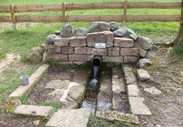
Tocht Te voet van 8,1 km beschikbaar op Hessen, Main-Kinzig-Kreis, Sinntal. Deze tocht wordt voorgesteld door SityTrail - itinéraires balisés pédestres.
Trail created by Rhönklub Zweigverein Sterbfritz.
Symbol: Weiße 5 auf blauem Hintergrund


Te voet
Te voet
Te voet
Te voet
Te voet
Te voet
Te voet
Te voet
Te voet