


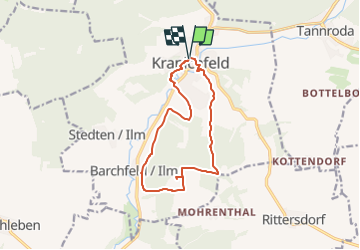

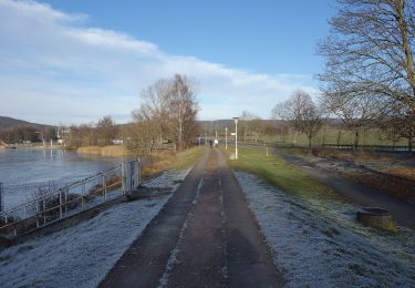
7,7 km | 10,5 km-effort

Tous les sentiers balisés d’Europe GUIDE+


Gratisgps-wandelapplicatie
 SityTrail
IGN / Geografische instituten
SityTrail World
De wereld gaat voor u open
Tocht Te voet van 11 km beschikbaar op Thüringen, Landkreis Weimarer Land, Kranichfeld. Deze tocht wordt voorgesteld door SityTrail - itinéraires balisés pédestres.
Trail created by Kranichfeld.
Symbol: Weiße 5 auf dunkelgrünem Hintergrund, drüber ein schwarzer Kranich auf weißem Grund.


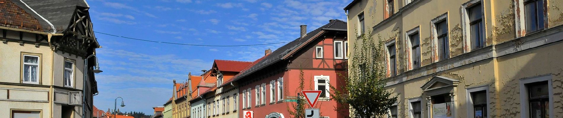
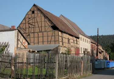
Te voet
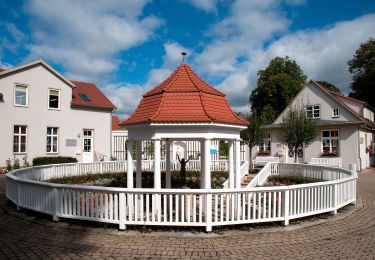
Te voet
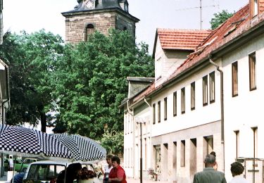
Te voet
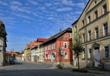
Te voet
Te voet
Te voet
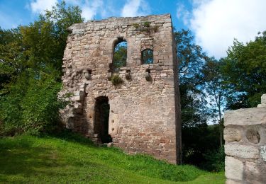
Te voet

Te voet