


7,9 km | 10,4 km-effort

Tous les sentiers balisés d’Europe GUIDE+


Gratisgps-wandelapplicatie
 SityTrail
IGN / Geografische instituten
SityTrail World
De wereld gaat voor u open
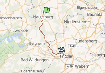
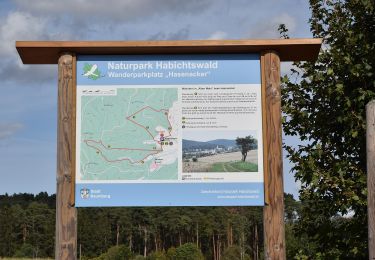
Tocht Te voet van 21 km beschikbaar op Hessen, Landkreis Kassel, Naumburg. Deze tocht wordt voorgesteld door SityTrail - itinéraires balisés pédestres.
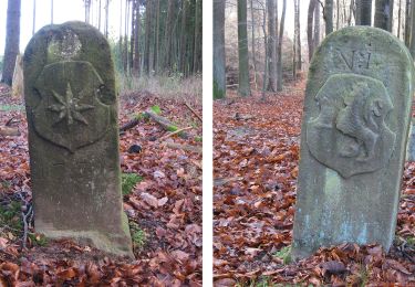
Trail created by Hessisch-Waldeckischer Gebirgs- und Heimatverein(HWGHV).
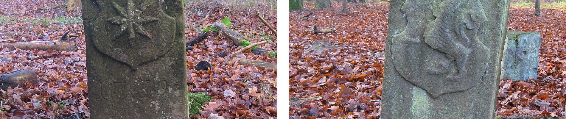
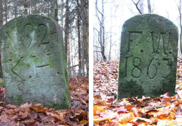
Symbol: Weißer Buchstabe X, manchmal auf schwarzem Grund und mit der Zahl 12 zwischen den Beinchen


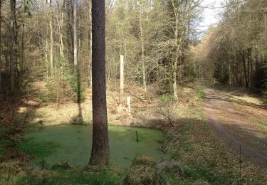
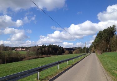
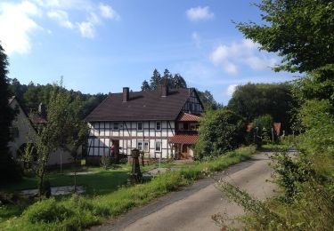
Te voet
Te voet
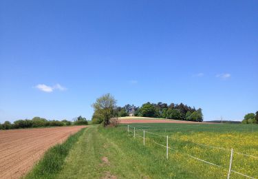
Te voet
Te voet
Te voet
Te voet
Te voet

Te voet
Te voet