


3 km | 3,9 km-effort

Tous les sentiers balisés d’Europe PRO


Gratisgps-wandelapplicatie
 SityTrail
IGN / Geografische instituten
SityTrail World
De wereld gaat voor u open
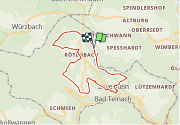
Tocht Te voet van 14,8 km beschikbaar op Baden-Württemberg, Landkreis Calw, Calw. Deze tocht wordt voorgesteld door SityTrail - itinéraires balisés pédestres.
Der Weg ist zum Teil auch als "Augenblickrunde Bad Teinach Rötenbach" beschildert
Website: https://schwarzwaldnatur.blogspot.com/2017/07/augenblick-runde-bad-teinach-zettelberg.html
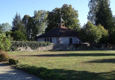
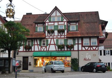
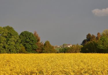
 - Photo 1")
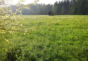
 - Photo 2")
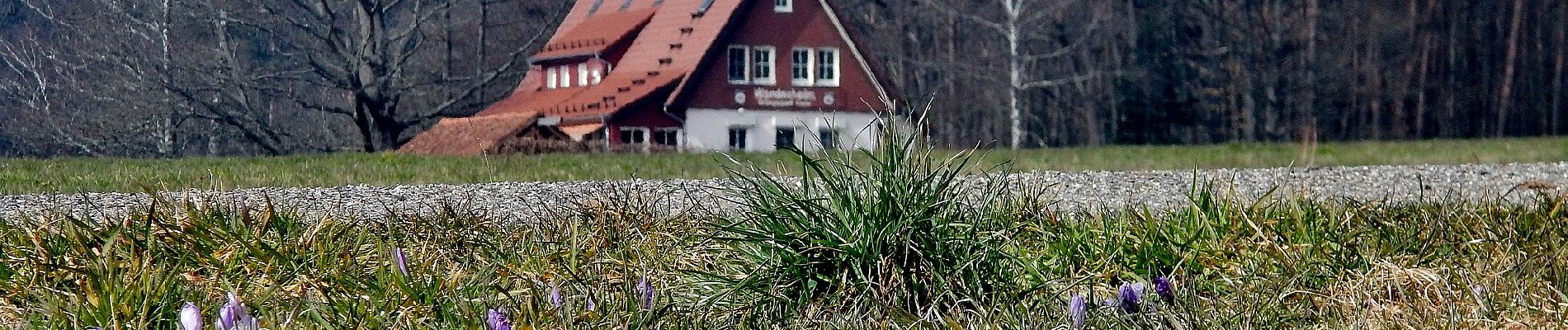
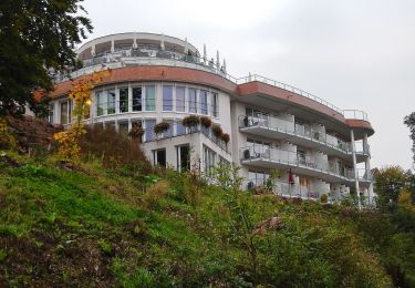
 - Photo 3")
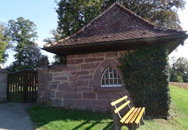
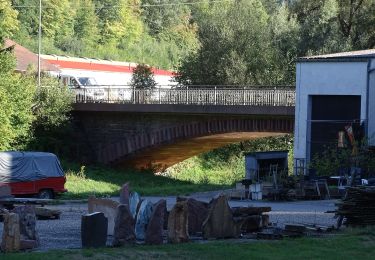
 - Photo 4")
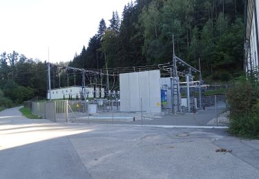
 - Photo 5")
 - Photo 6")
 - Photo 7")
 - Photo 8")
 - Photo 9")
 - Photo 10")
Te voet
Te voet
Te voet
Te voet
Te voet
Te voet
Te voet
Te voet

Te voet