


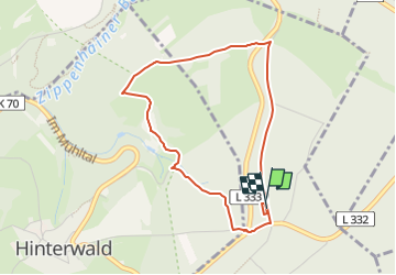

7,7 km | 10,9 km-effort

Tous les sentiers balisés d’Europe GUIDE+


Gratisgps-wandelapplicatie
 SityTrail
IGN / Geografische instituten
SityTrail World
De wereld gaat voor u open
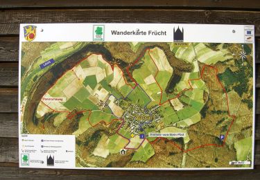
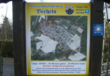
Tocht Te voet van 3,5 km beschikbaar op Rijnland-Palts, Rhein-Lahn-Kreis, Dachsenhausen. Deze tocht wordt voorgesteld door SityTrail - itinéraires balisés pédestres.
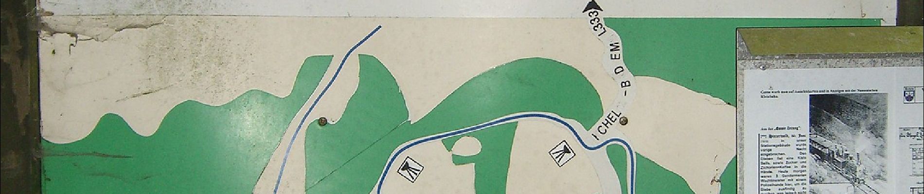
Trail created by Forstamt Lahnstein - Forstrevier Braubach u. Dachsenhausen.
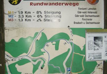
Symbol: blaues "M2" auf weißem Grund


Te voet
Te voet
Te voet
Te voet
Te voet
Te voet
Te voet
Te voet
Te voet