


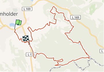

12,3 km | 18,3 km-effort


Tous les sentiers balisés d’Europe GUIDE+


Gratisgps-wandelapplicatie
 SityTrail
IGN / Geografische instituten
SityTrail World
De wereld gaat voor u open
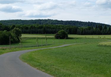
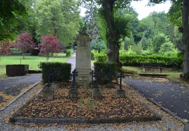
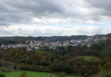
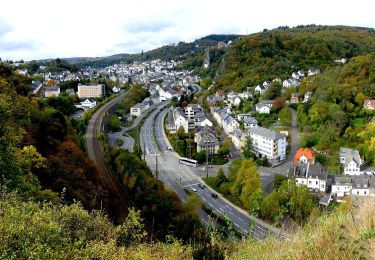
Tocht Te voet van 13,5 km beschikbaar op Rijnland-Palts, Landkreis Birkenfeld, Baumholder. Deze tocht wordt voorgesteld door SityTrail - itinéraires balisés pédestres.

Te voet
Te voet
Te voet
Te voet
Te voet

Te voet
Te voet
Te voet
Te voet