


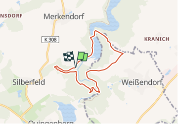

5,8 km | 7,2 km-effort

Tous les sentiers balisés d’Europe GUIDE+


Gratisgps-wandelapplicatie
 SityTrail
IGN / Geografische instituten
SityTrail World
De wereld gaat voor u open
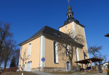
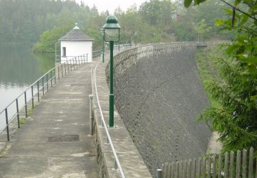
Tocht Te voet van 6,1 km beschikbaar op Thüringen, Greiz, Zeulenroda-Triebes. Deze tocht wordt voorgesteld door SityTrail - itinéraires balisés pédestres.
Symbol: blue letter π (Pi) and red dot on top;all together on white ground


Te voet
Te voet
Te voet
Te voet