


5 km | 7 km-effort

Tous les sentiers balisés d’Europe GUIDE+


Gratisgps-wandelapplicatie
 SityTrail
IGN / Geografische instituten
SityTrail World
De wereld gaat voor u open
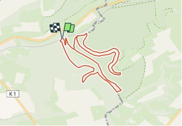
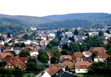
Tocht Te voet van 9,9 km beschikbaar op Noordrijn-Westfalen, Kreis Paderborn, Paderborn. Deze tocht wordt voorgesteld door SityTrail - itinéraires balisés pédestres.
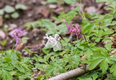
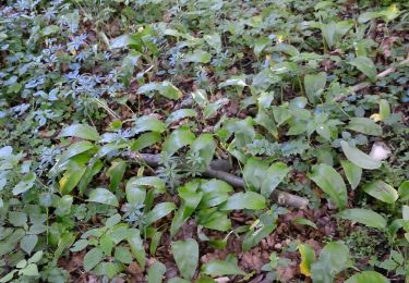
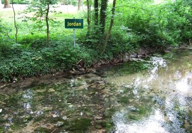
In der Naturerbe Wanderwelt bei Altenbeken können Sie wilde Natur erleben. Unterwegs auf attraktiven Wanderwegen lassen sich einzigartige Naturschätze entdecken.
Website: http://www.naturerbe-wanderwelt.de
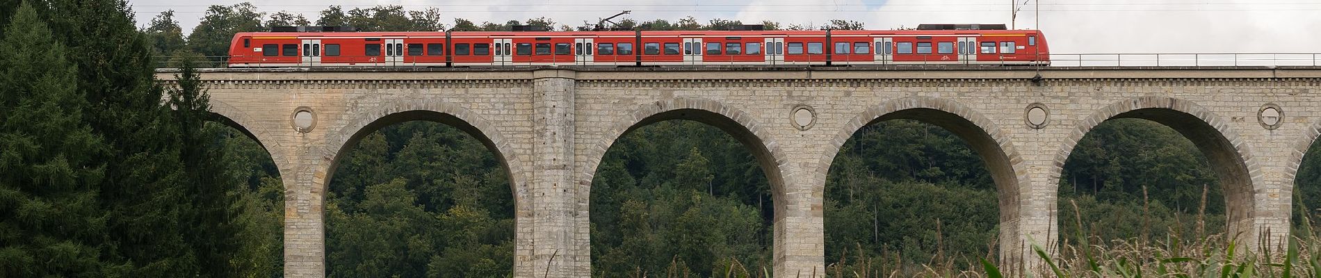
 - Photo 1")
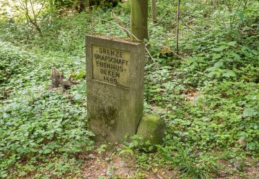
 - Photo 2")
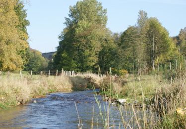
 - Photo 3")
 - Photo 4")
 - Photo 5")
 - Photo 6")
 - Photo 7")
 - Photo 8")
 - Photo 9")
 - Photo 10")
Te voet
Te voet
Te voet
Te voet
Te voet
Te voet
Te voet

Te voet
Te voet