


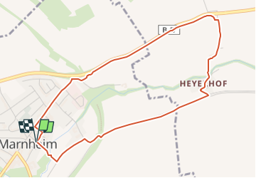

4,3 km | 5,2 km-effort


Tous les sentiers balisés d’Europe GUIDE+


Gratisgps-wandelapplicatie
 SityTrail
IGN / Geografische instituten
SityTrail World
De wereld gaat voor u open
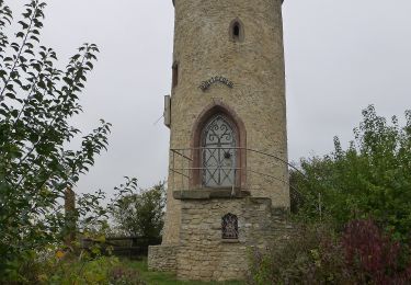
Tocht Te voet van 4,7 km beschikbaar op Rijnland-Palts, Donnersbergkreis, Marnheim. Deze tocht wordt voorgesteld door SityTrail - itinéraires balisés pédestres.
Trail created by Verbandsgemeinde Kirchheimbolanden.
Symbol: Oben Himmelblau, unten Grün, Dunkelblaues Z
Website: https://www.zellertalweg.de
Te voet
Te voet
Te voet
Te voet
Te voet