


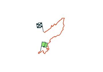

7 km | 8,5 km-effort

Tous les sentiers balisés d’Europe GUIDE+


Gratisgps-wandelapplicatie
 SityTrail
IGN / Geografische instituten
SityTrail World
De wereld gaat voor u open
Tocht Te voet van 17,6 km beschikbaar op Rijnland-Palts, Donnersbergkreis, Gehrweiler. Deze tocht wordt voorgesteld door SityTrail - itinéraires balisés pédestres.
Trail created by Verbandsgemeinde Nordpfälzer Land.
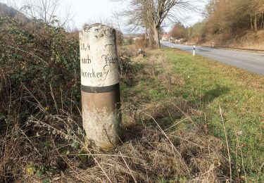
Wanderweg ist noch nicht komplett markiert, im Frühjahr 2018 soll die Markierung abgeschlossen sein.
Symbol: Stilisiertes türkisfarbenes R mit roten Punkt rechts unten, darunter ein gelber Strich


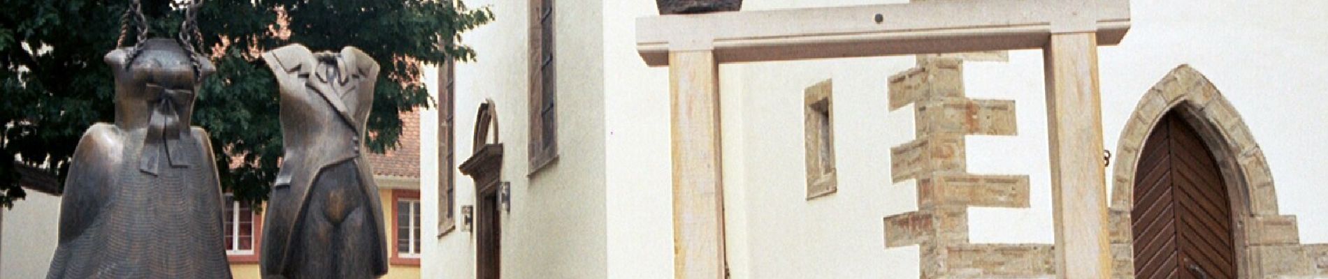
Te voet
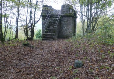
Te voet
Te voet
Te voet
Te voet
Te voet
Te voet
Te voet
Te voet