


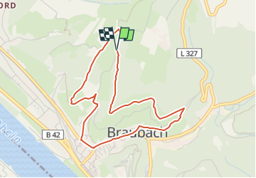

4,2 km | 6 km-effort

Tous les sentiers balisés d’Europe GUIDE+


Gratisgps-wandelapplicatie
 SityTrail
IGN / Geografische instituten
SityTrail World
De wereld gaat voor u open
Tocht Te voet van 4,1 km beschikbaar op Rijnland-Palts, Rhein-Lahn-Kreis, Braubach. Deze tocht wordt voorgesteld door SityTrail - itinéraires balisés pédestres.
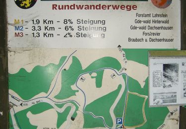
Symbol: symbolisierte schwarze Lore auf weißem Grund (Schienenfahrzeug zum Transport und abkippen von Schüttgut)
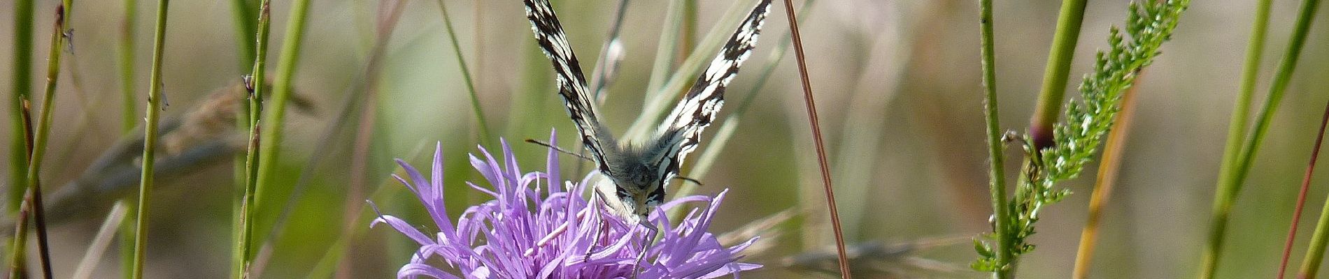
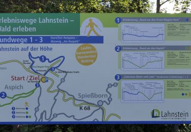
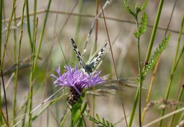
 Braubach - Photo 1")
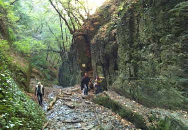
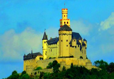
 Braubach - Photo 2")
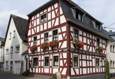
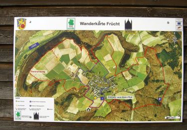
 Braubach - Photo 3")
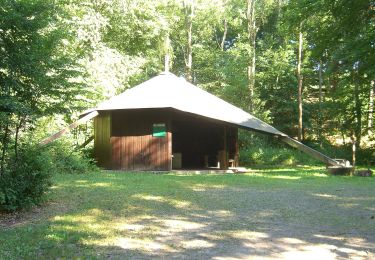
 Braubach - Photo 4")
 Braubach - Photo 5")
 Braubach - Photo 6")
 Braubach - Photo 7")
 Braubach - Photo 8")
 Braubach - Photo 9")
 Braubach - Photo 10")

Te voet
Te voet
Te voet
Te voet
Te voet
Te voet
Te voet
Te voet
Te voet