


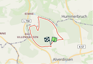

11,1 km | 14,3 km-effort

Tous les sentiers balisés d’Europe GUIDE+


Gratisgps-wandelapplicatie
 SityTrail
IGN / Geografische instituten
SityTrail World
De wereld gaat voor u open
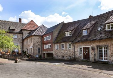
Tocht Te voet van 5,1 km beschikbaar op Noordrijn-Westfalen, Kreis Lippe, Barntrup. Deze tocht wordt voorgesteld door SityTrail - itinéraires balisés pédestres.
Symbol: Blauer Hase auf weißem Grund
Website: http://www.wanderregion-nordlippe.de/de/wanderwege/rundwanderwege/hasenweg.php


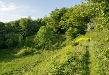
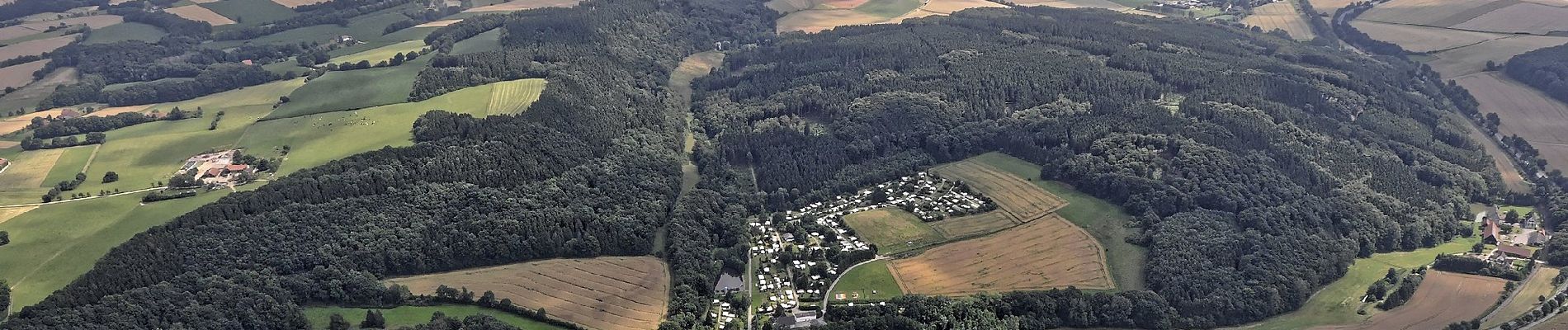
Te voet
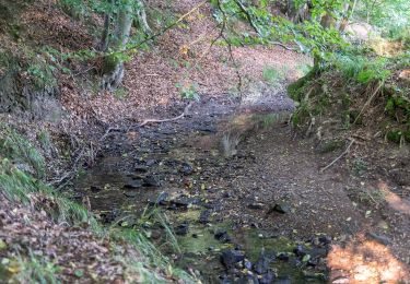
Te voet
Te voet

Te voet