![](/images/other/stat-length.png)
![Tocht Te voet Rinteln - RI12 Schlingborn-Route - Photo](https://media.geolcdn.com/t/1900/400/dec5a7fd-92ec-4454-b0d0-59b71b39ea43.jpeg&format=pjpeg&maxdim=2)
RI12 Schlingborn-Route
SityTrail - itinéraires balisés pédestres
Tous les sentiers balisés d’Europe GUIDE+
![Lengte](/images/other/stat-length.png)
![Max. hoogte](https://static1.geolcdn.com/siteimages/upload/files/1508320355ic_sort_altitude_max_24dp.png)
![Positief hoogteverschil](https://static1.geolcdn.com/siteimages/upload/files/1508320355ic_sort_den_pos_24dp.png)
![Km-Effort](/images/other/stat-length.png)
![Min. hoogte](https://static1.geolcdn.com/siteimages/upload/files/1508320355ic_sort_altitude_min_24dp.png)
![Negatief hoogteverschil](https://static1.geolcdn.com/siteimages/upload/files/1508320355ic_sort_den_neg_24dp.png)
![Boucle](https://static1.geolcdn.com/siteimages/upload/files/16400158638029165_repeat_loop_refresh_sync_direction_icon.png)
![Te voet](https://static1.geolcdn.com/sitytour/trail-icons/100.png)
1h29
Moeilijkheid : Gemakkelijk
![Scan deze QR-code om de tocht te openen in de SityTrail-applicatie](https://capi.geolives.com/qq0zvz2zws4bq2lad0pu/sitytour/trails/3099202/qr.png?size=200)
Gratisgps-wandelapplicatie
Over ons
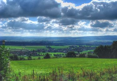
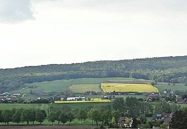
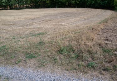
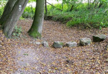
Tocht Te voet van 4,7 km beschikbaar op Nedersaksen, Landkreis Schaumburg, Rinteln. Deze tocht wordt voorgesteld door SityTrail - itinéraires balisés pédestres.
Beschrijving
Das natour.NAH.zentrum Schillat- Höhle ist der ideale Ausgangspunkt für Strecken- und Rundwandertouren. Der Weserbergland-Weg und viele mehr führen direkt an diesem vorbei.
Website: http://www.schillathoehle.de/de/wanderwege/#/de/westliches-weserbergland_neu/default/detail/Tour/BC0959F369A5187390D6F188C9836426/ri12-schlingborn-route
Plaatsbepaling
Opmerkingen
Wandeltochten in de omgeving
![Tocht Te voet Rinteln - RI15 Schullandheim Route - Photo](https://media.geolcdn.com/t/375/260/920c7d2e-1cd1-473a-8245-034e1bafe258.jpeg&format=jpg&maxdim=2)
![Te voet Te voet](https://static1.geolcdn.com/sitytour/trail-icons/100.png)
Te voet
![](/images/other/stat-length.png)
![](https://static1.geolcdn.com/siteimages/upload/files/16400158638029165_repeat_loop_refresh_sync_direction_icon.png)
![Tocht Te voet Auetal - RI7 Schloss-Schaumburg Route - Photo](https://media.geolcdn.com/t/375/260/75bfa630-e257-4b54-83f2-882e2b541f2d.jpeg&format=jpg&maxdim=2)
![Te voet Te voet](https://static1.geolcdn.com/sitytour/trail-icons/100.png)
Te voet
![](/images/other/stat-length.png)
![](https://static1.geolcdn.com/siteimages/upload/files/16400158638029165_repeat_loop_refresh_sync_direction_icon.png)
![Tocht Te voet Auetal - RI5 Drei Burgen Route - Photo](https://media.geolcdn.com/t/375/260/5e0c6d99-c6ea-4662-96bc-c10b18506f59.jpeg&format=jpg&maxdim=2)
![Te voet Te voet](https://static1.geolcdn.com/sitytour/trail-icons/100.png)
Te voet
![](/images/other/stat-length.png)
![](https://static1.geolcdn.com/siteimages/upload/files/16400158638029165_repeat_loop_refresh_sync_direction_icon.png)
![Tocht Te voet Rinteln - RI18 Friedrichsburg-Route - Photo](https://media.geolcdn.com/t/375/260/920c7d2e-1cd1-473a-8245-034e1bafe258.jpeg&format=jpg&maxdim=2)
![Te voet Te voet](https://static1.geolcdn.com/sitytour/trail-icons/100.png)
Te voet
![](/images/other/stat-length.png)
![](https://static1.geolcdn.com/siteimages/upload/files/16400158638029165_repeat_loop_refresh_sync_direction_icon.png)
![Tocht Te voet Auetal - RI4 Westendorfer-Egge-Route - Photo](https://media.geolcdn.com/t/375/260/5e0c6d99-c6ea-4662-96bc-c10b18506f59.jpeg&format=jpg&maxdim=2)
![Te voet Te voet](https://static1.geolcdn.com/sitytour/trail-icons/100.png)
Te voet
![](/images/other/stat-length.png)
![](https://static1.geolcdn.com/siteimages/upload/files/16400158638029165_repeat_loop_refresh_sync_direction_icon.png)
![Tocht Te voet Hessisch Oldendorf - HO13 - Friedrichshagen-Route - Photo](https://media.geolcdn.com/t/375/260/fadbacb7-844f-4cdb-9125-789c662789ff.jpeg&format=jpg&maxdim=2)
![Te voet Te voet](https://static1.geolcdn.com/sitytour/trail-icons/100.png)
Te voet
![](/images/other/stat-length.png)
![](https://static1.geolcdn.com/siteimages/upload/files/16400158638029165_repeat_loop_refresh_sync_direction_icon.png)
![Tocht Te voet Extertal - A1, Extertal/ Rott - Photo](https://media.geolcdn.com/t/375/260/59f02047-bade-4a2b-b51d-46857522fbcf.jpeg&format=jpg&maxdim=2)
![Te voet Te voet](https://static1.geolcdn.com/sitytour/trail-icons/100.png)
Te voet
![](/images/other/stat-length.png)
![](https://static1.geolcdn.com/siteimages/upload/files/16400158638029165_repeat_loop_refresh_sync_direction_icon.png)
![Tocht Te voet Rinteln - A2, Extertal/ Rott - Photo](https://media.geolcdn.com/t/375/260/e1d24005-d96c-443d-a07a-b6893db4feae.jpeg&format=jpg&maxdim=2)
![Te voet Te voet](https://static1.geolcdn.com/sitytour/trail-icons/100.png)
Te voet
![](/images/other/stat-length.png)
![](https://static1.geolcdn.com/siteimages/upload/files/16400158638029165_repeat_loop_refresh_sync_direction_icon.png)
![Tocht Te voet Extertal - A3, Extertal/ Rott - Photo](https://media.geolcdn.com/t/375/260/2e1b5ab6-750a-42ac-ad07-37a82b27f05e.jpeg&format=jpg&maxdim=2)
![Te voet Te voet](https://static1.geolcdn.com/sitytour/trail-icons/100.png)
Te voet
![](/images/other/stat-length.png)
![](https://static1.geolcdn.com/siteimages/upload/files/16400158638029165_repeat_loop_refresh_sync_direction_icon.png)