


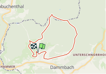

8,9 km | 13,4 km-effort

Tous les sentiers balisés d’Europe GUIDE+


Gratisgps-wandelapplicatie
 SityTrail
IGN / Geografische instituten
SityTrail World
De wereld gaat voor u open
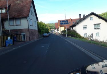
Tocht Te voet van 7,1 km beschikbaar op Beieren, Landkreis Aschaffenburg, Dammbach. Deze tocht wordt voorgesteld door SityTrail - itinéraires balisés pédestres.
Trail created by Naturpark Spessart.
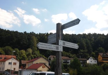
Symbol: Schwarzer Fuchs auf weißem Grund


Te voet
Te voet
Te voet
Te voet
Te voet
Te voet
Te voet
Te voet
Te voet