


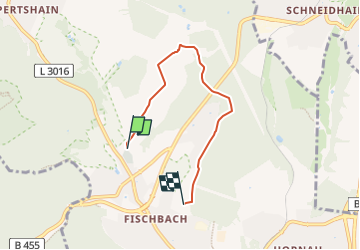

4,5 km | 7,3 km-effort

Tous les sentiers balisés d’Europe GUIDE+


Gratisgps-wandelapplicatie
 SityTrail
IGN / Geografische instituten
SityTrail World
De wereld gaat voor u open
Tocht Te voet van 4,1 km beschikbaar op Hessen, Main-Taunus-Kreis, Kelkheim. Deze tocht wordt voorgesteld door SityTrail - itinéraires balisés pédestres.
Trail created by Taunusklub.
Symbol: Grüner Kreis, darin links ein rotes R, rechts eine rote 2 und mittig das Taunusclub-Symbol in grün, überschrieben mit Rundwanderweg. Unterhalb des Kreises der Text "Rund um den Rettershof"


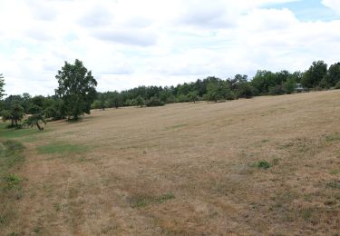
Te voet
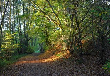
Te voet
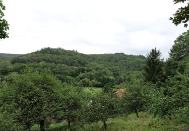
Te voet
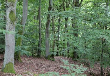
Te voet

Te voet
Te voet

Te voet

Te voet
Te voet