


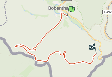

18,4 km | 26 km-effort

Tous les sentiers balisés d’Europe GUIDE+


Gratisgps-wandelapplicatie
 SityTrail
IGN / Geografische instituten
SityTrail World
De wereld gaat voor u open
Tocht Te voet van 7,9 km beschikbaar op Rijnland-Palts, Südwestpfalz, Bobenthal. Deze tocht wordt voorgesteld door SityTrail - itinéraires balisés pédestres.
Trail created by Tourist Information Dahner Felsenland.
Symbol: Stilisierter weißer Hase auf blauem Grund mit weißer Unterschrift "Hasenkopf-Runde"


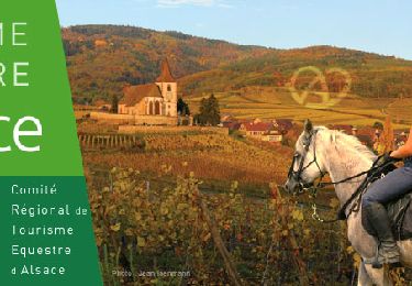
Paardrijden
Te voet
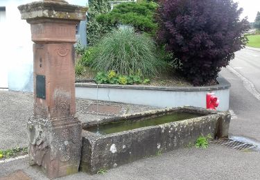
Te voet
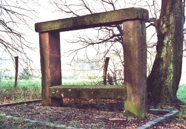
Te voet
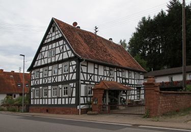
Te voet
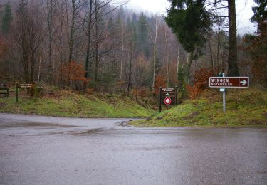
Te voet
Te voet
Te voet
Te voet