


30 km | 40 km-effort

Tous les sentiers balisés d’Europe GUIDE+


Gratisgps-wandelapplicatie
 SityTrail
IGN / Geografische instituten
SityTrail World
De wereld gaat voor u open
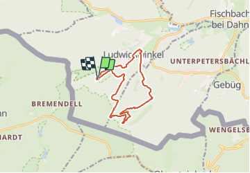
Tocht Te voet van 11,3 km beschikbaar op Rijnland-Palts, Südwestpfalz, Ludwigswinkel. Deze tocht wordt voorgesteld door SityTrail - itinéraires balisés pédestres.
Symbol: Stilisierte weiße Felssilhouetten auf orangenem Grund mit weißer Unterschrift "Rumberg-Steig"


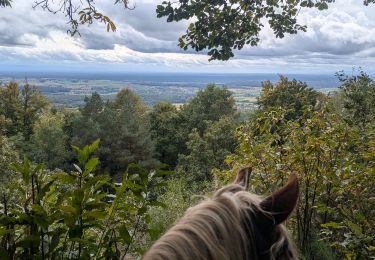
Paardrijden
Paardrijden

Paardrijden
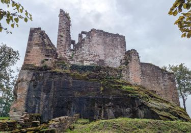
Te voet
Te voet
Te voet
Te voet

Te voet

Te voet